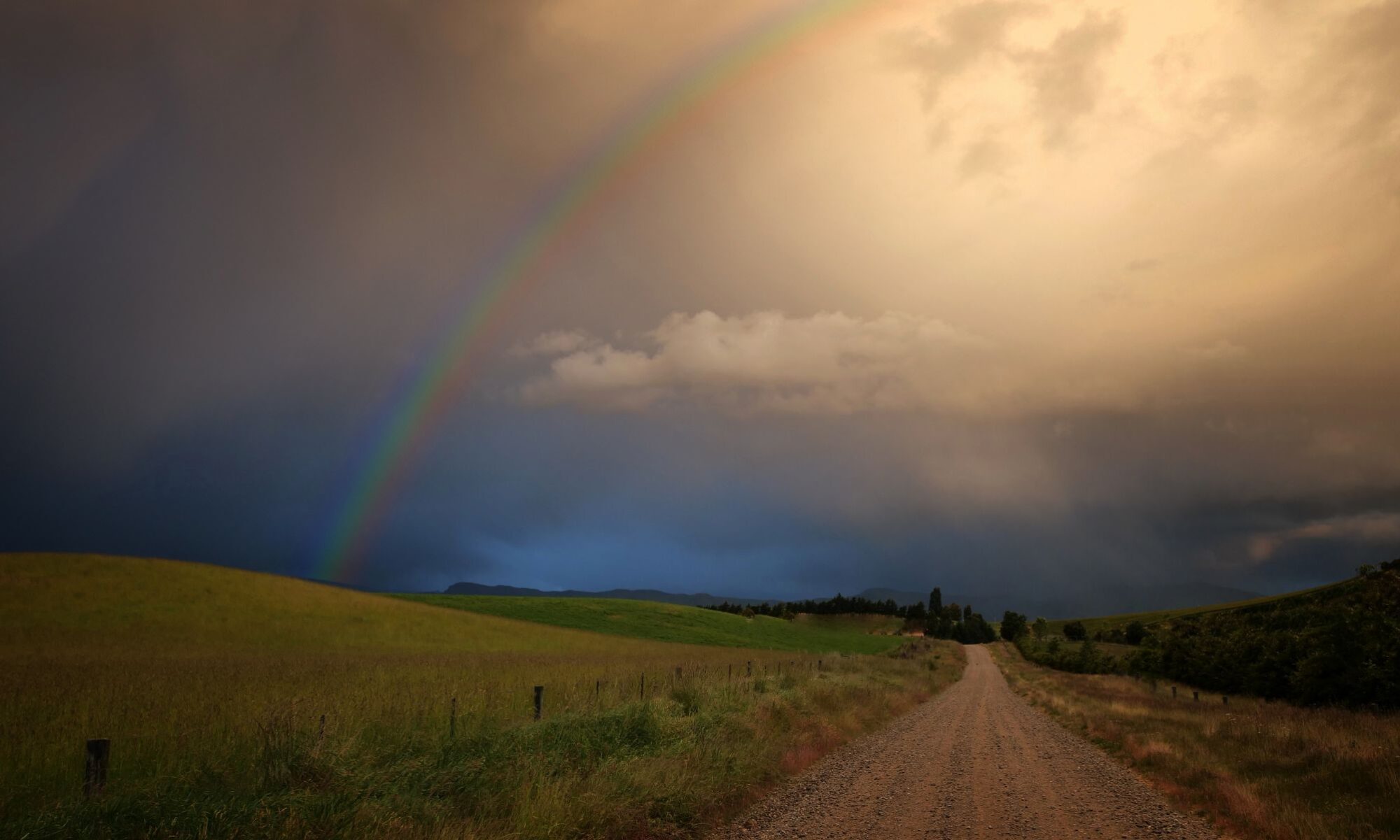
Rural landscape near Wanaka, New Zealand.
A moonlight shot looking towards Mt Aspiring National Park in the distance. The snowy peak being Mt Avalanche. To the right and in dead center, are the lights of Wanaka, with the Buchanan Mountain Range as a backdrop.

Upper Clutha River near Albert Town Wanaka. California Poppies in December are a delight!

The Upper Clutha Basin, and the Clutha River.
The Cardrona, Hawea, Makarora and Matukituki rivers all feed into the Clutha Mata-Au (formerly Molyneaux). The longest river in the South Island of New Zealand. Wanaka airport is to the left, and Wanaka township, out of sight to the right.

Hawea Flat, New Zealand aerial photo.
Tangential winter lighting reveals the ancient fluvial processes associated with rivers and streams. And now overlaid by relentless Europeanisation in the name of agriculture.

Paddling the Cromwell Gorge, Clutha River, New Zealand. Circa 1985.
This wild river was no more when Lake Dunstan was formed, beginning in April 1992. It is a man-made lake and reservoir and was formed on the Clutha River as a result of the construction of the Clyde Dam.

