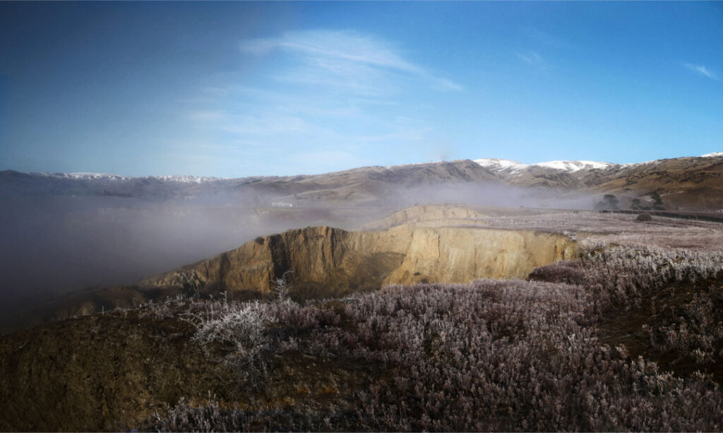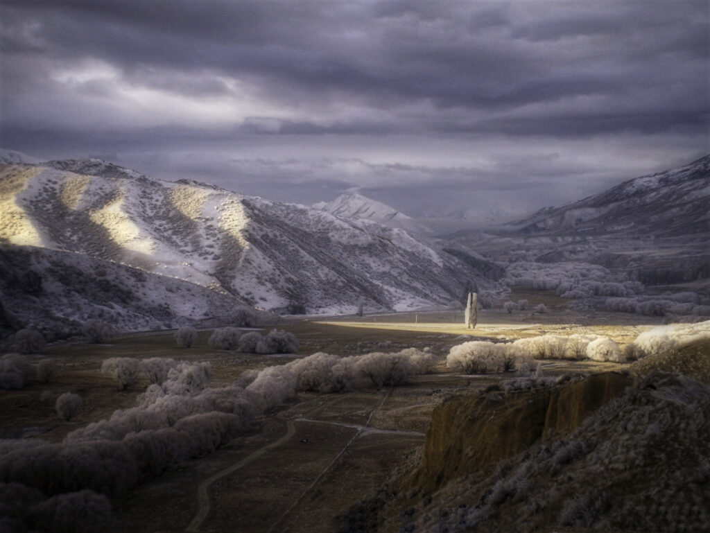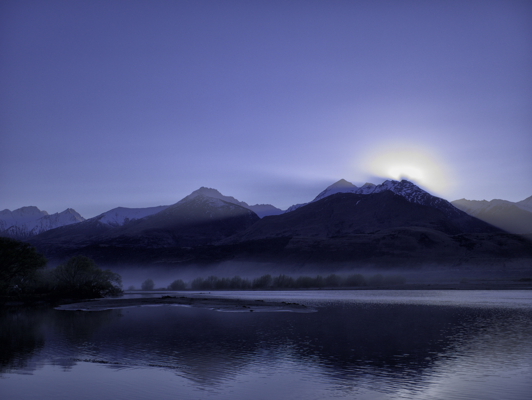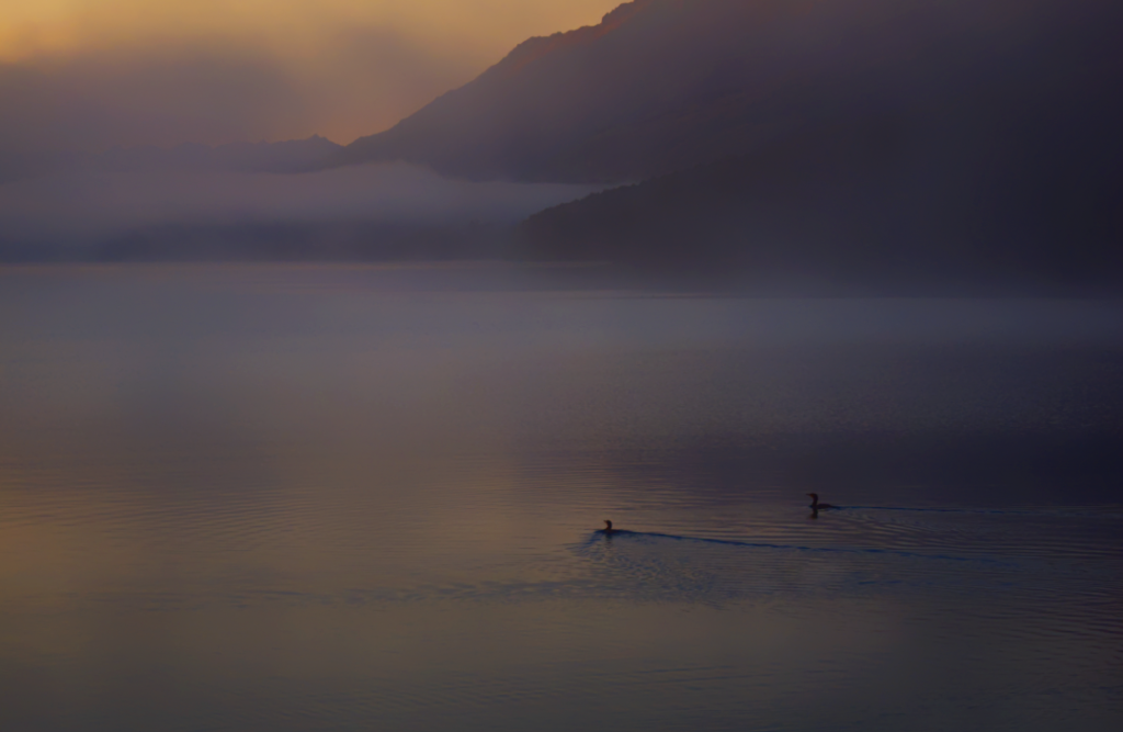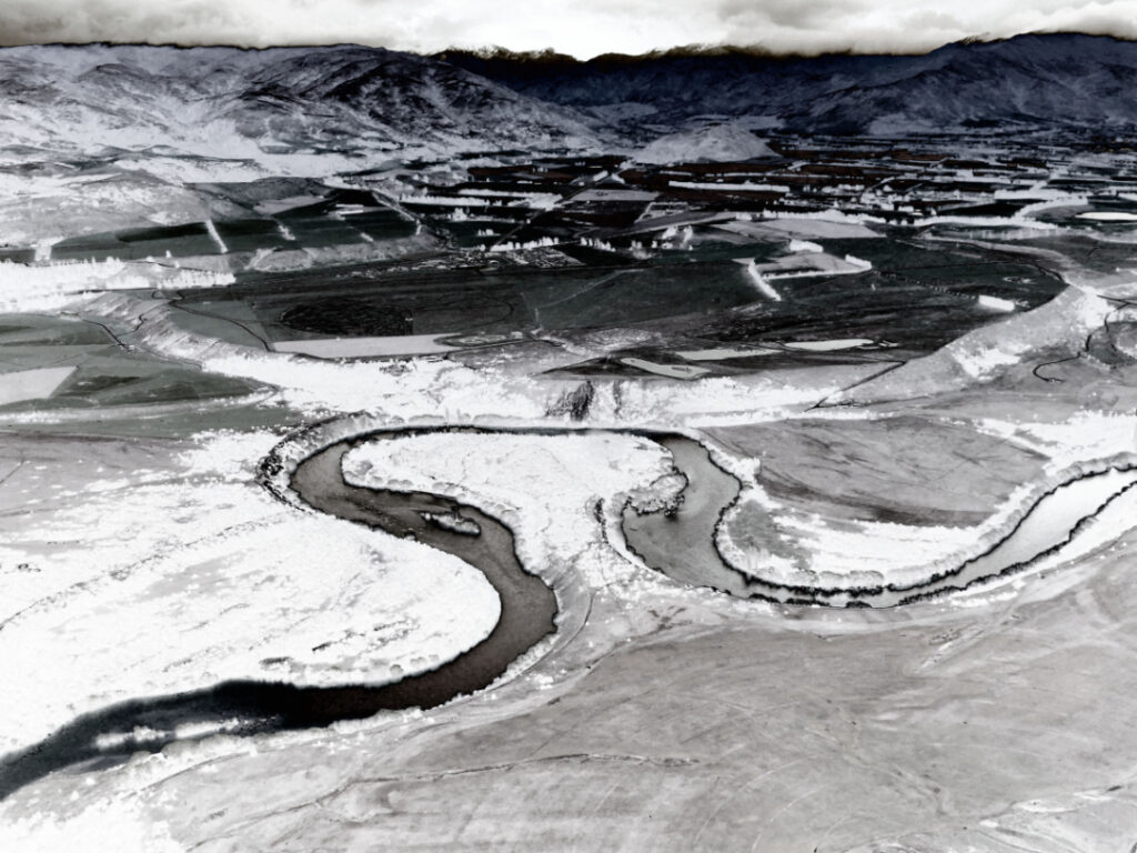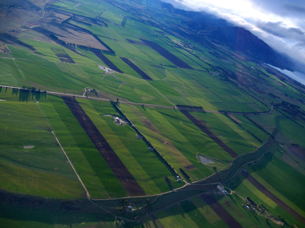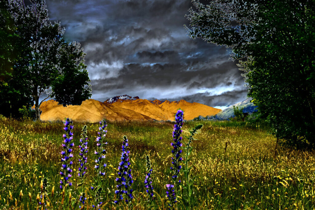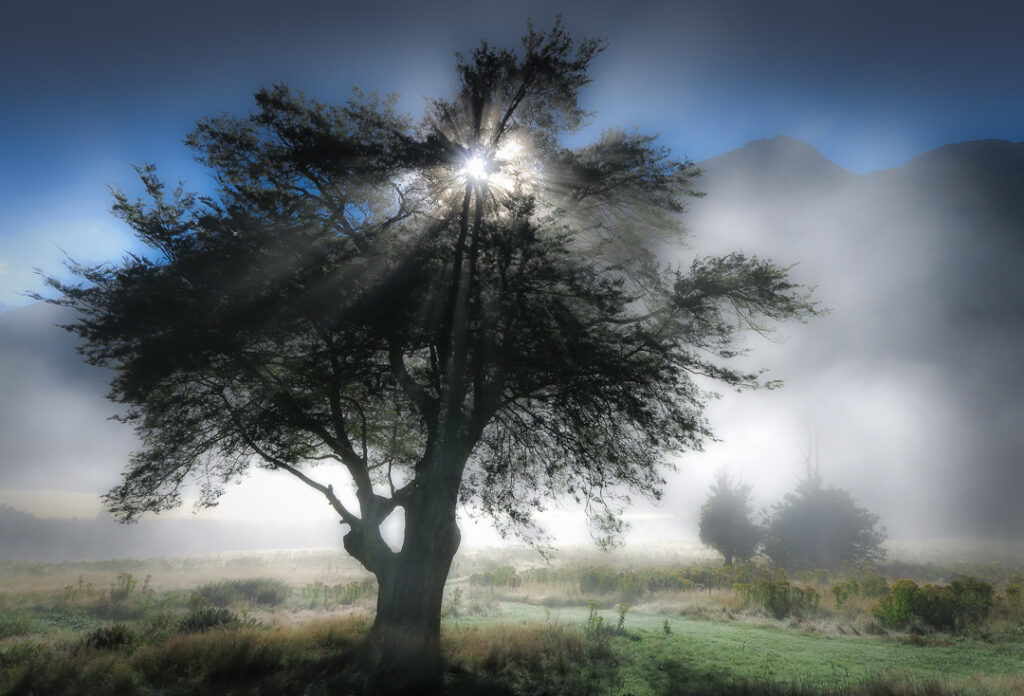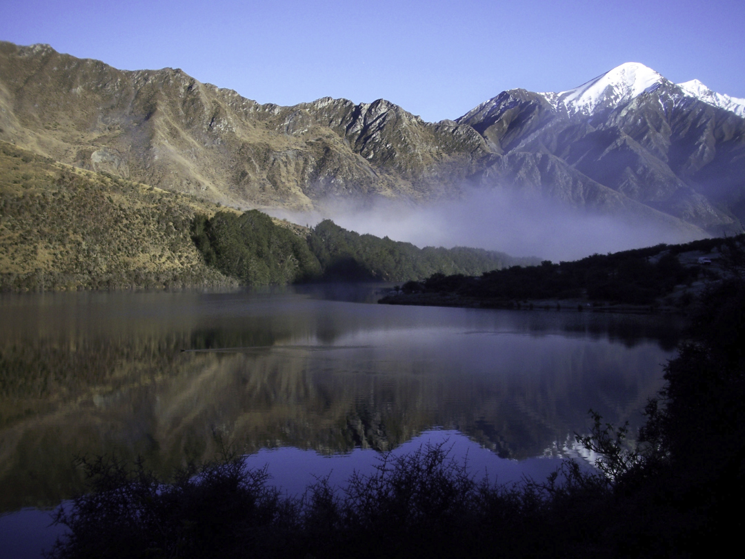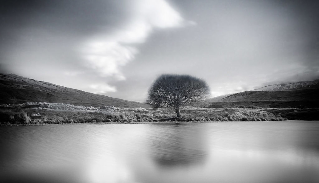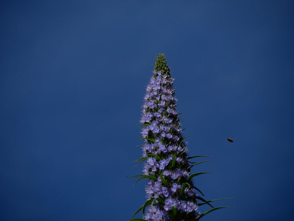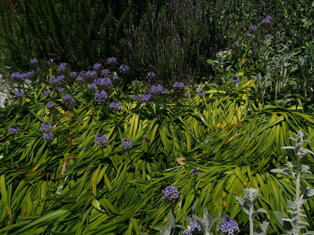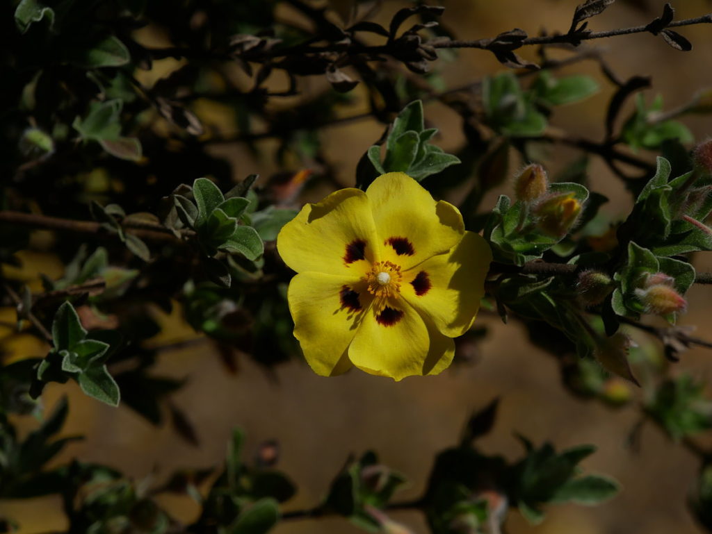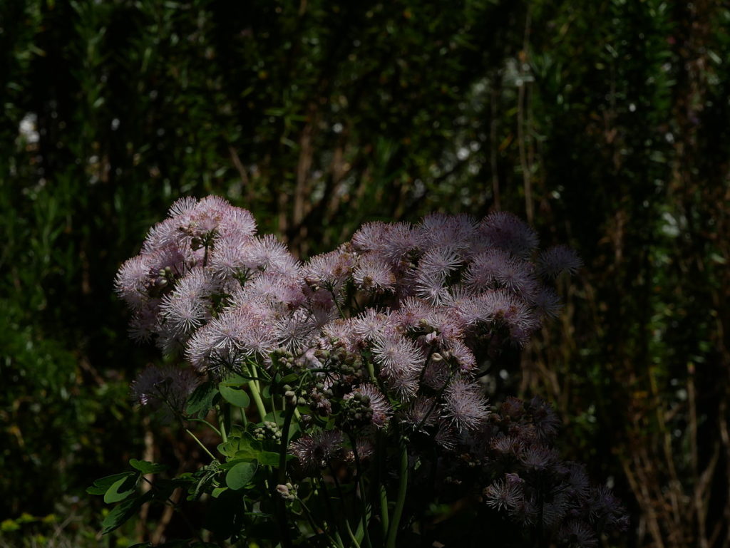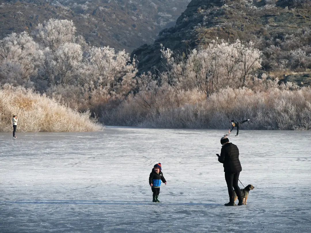
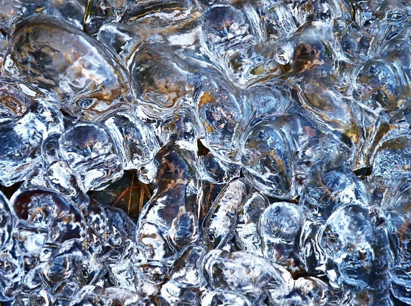
By a spring on the lower Pisa Range. Cardrona Valley near Wānaka.


Haere Mai – PhotoQuest Wānaka NZ
New Zealand’s South Island landscape re-imagined and re-imaged

By a spring on the lower Pisa Range. Cardrona Valley near Wānaka.
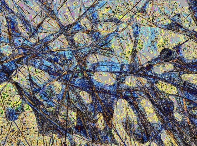
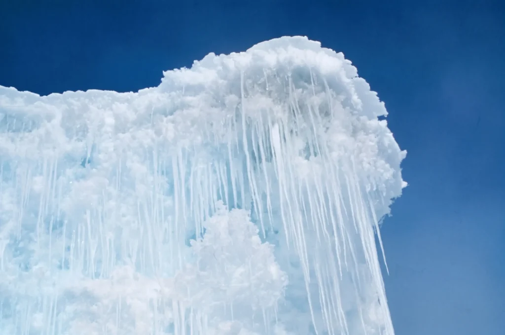
As winter spreads its icy fingers across the landscape, it unveils a realm of ethereal beauty that awaits the keen eye of a photographer. Capturing the essence of this magical season can be a captivating endeavor, especially when exploring the juxtaposition of fog, hoar frost, and the radiant sun in semi-urban, rural and recreational settings. In this blog post, we embark on a visual journey through the lens of a camera, discovering the unique concepts and techniques that elevate winter photography to an art form.

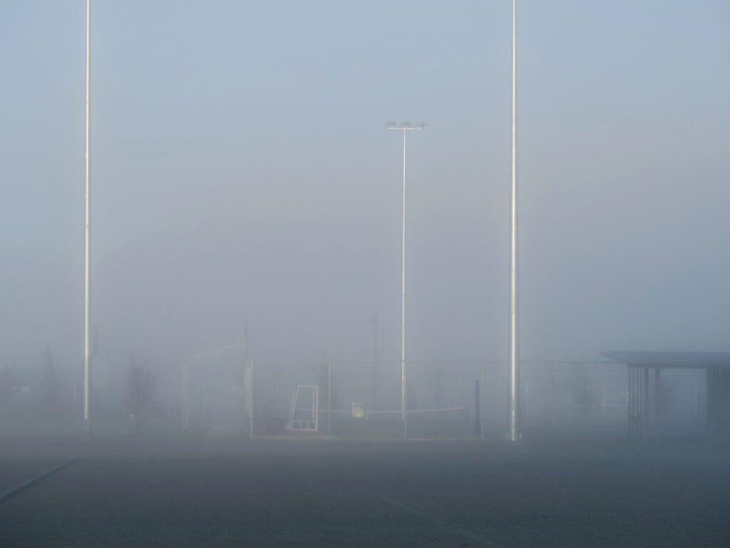
In a semi-urban setting, when the winter fog envelops the surroundings, photography takes on an almost mystical quality. The limited visibility adds an element of intrigue and mystery to familiar landscapes. Compose your shots with leading lines to draw the viewer’s gaze deeper into the foggy abyss, guiding them through the hidden beauty that lurks within. Experiment with monochromatic tones to emphasize the stark contrasts and evoke a hauntingly beautiful mood in your photographs.

To make the most of this atmospheric phenomenon, consider using a shallow depth of field to create a sense of depth and focus on the immediate subjects that emerge from the mist.


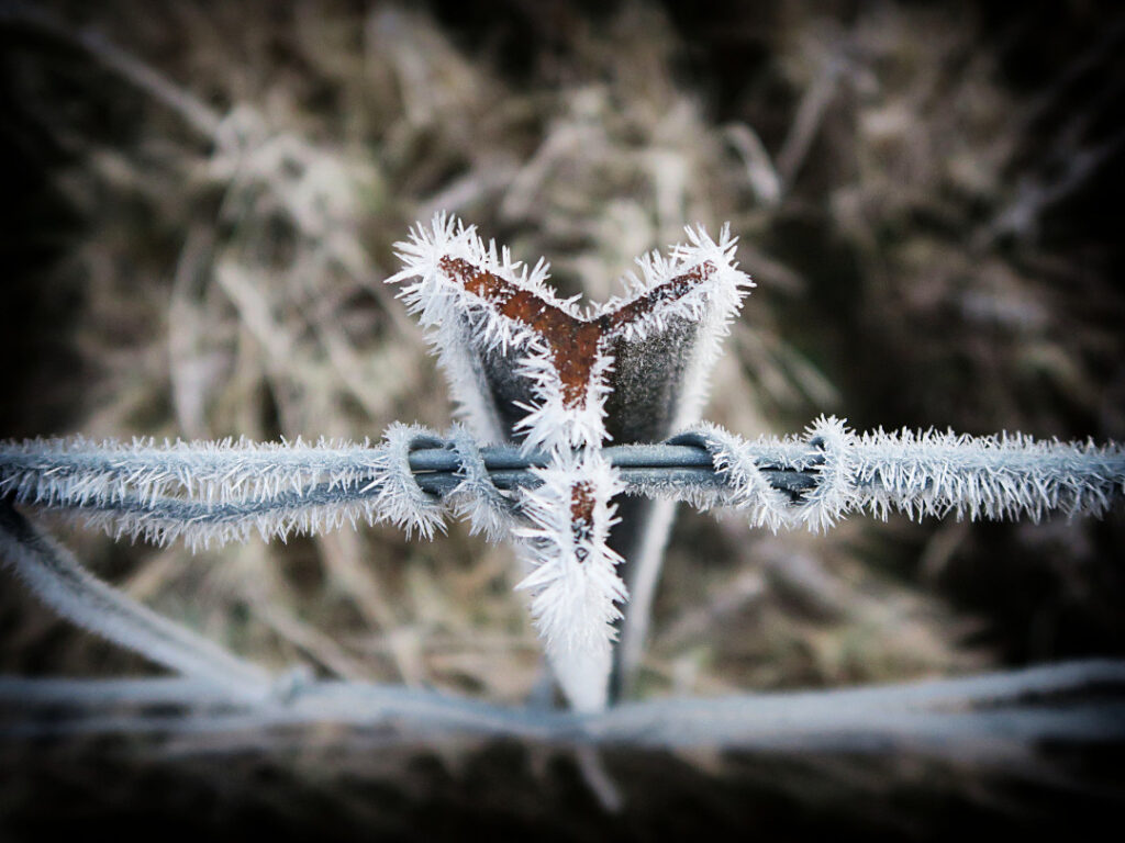
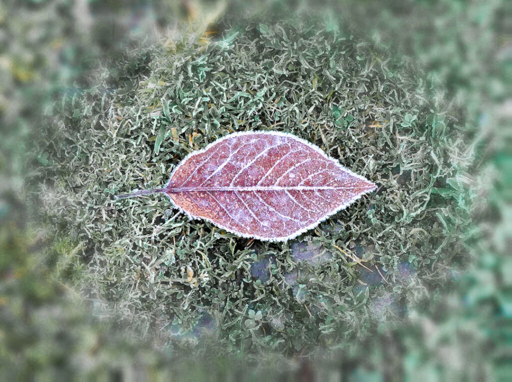
Macro photography can unlock a world of intricate details as the frost crystals form mesmerising patterns on leaves, branches, and other surfaces.
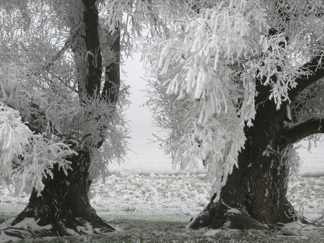
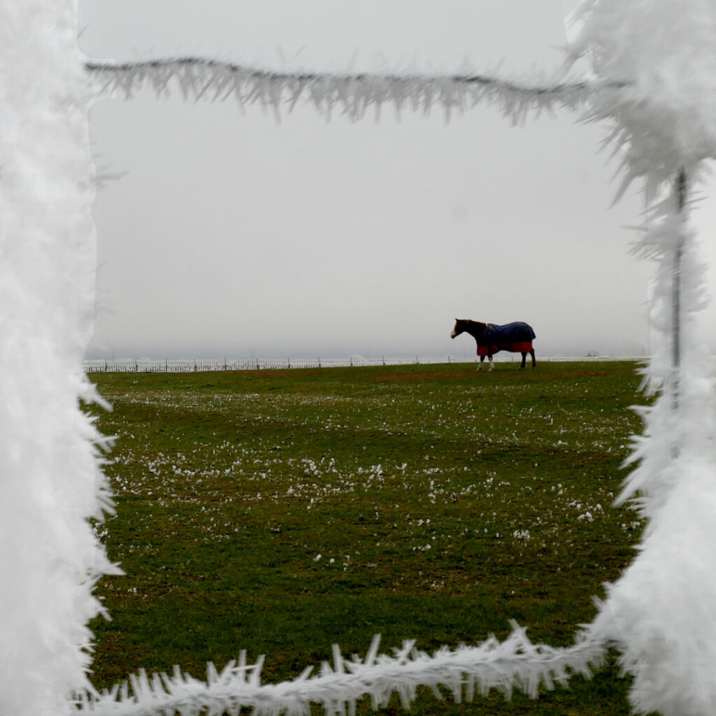
On frosty mornings, nature gifts us with an exquisite display of hoar frost delicately cloaking every surface. To capture this wondrous phenomenon, venture out early when the frost is at its peak, glistening under the soft light of dawn. Use a tripod to ensure sharpness and stability, and seek out contrasting backgrounds that allow the frost to stand out with stunning clarity. Play with exposure settings to achieve the right balance between the frost’s sparkle and the ambient light, giving your images an enchanting and dreamlike quality.

When the winter sun finally breaks through the shroud of fog, it bathes the world in a warm and golden glow, transforming the landscape into a breathtaking spectacle. The key to capturing this magic lies in understanding how light interacts with the environment during winter. Embrace the golden hour and blue hour, the times just before sunrise and after sunset, to infuse your images with a soft and enchanting light. Leverage long shadows and silhouettes to create dramatic and evocative compositions.

Remember, winter photography can be physically demanding, so taking care of your well-being is crucial. Proper preparation and the right gear will help you focus on capturing stunning winter images without compromising your safety and comfort.
Winter photography in any setting, shrouded in fog and adorned with hoar frost, offers a treasure trove of opportunities for photographers seeking to capture the enchantment of the season. Through careful composition, a mastery of light, and a keen eye for detail, you can elevate your photographs from mere images to captivating works of art that evoke the winter’s mystical charm. So, grab your camera, embrace the elements, and embark on a photo quest to immortalise the fleeting beauty of winter’s embrace.


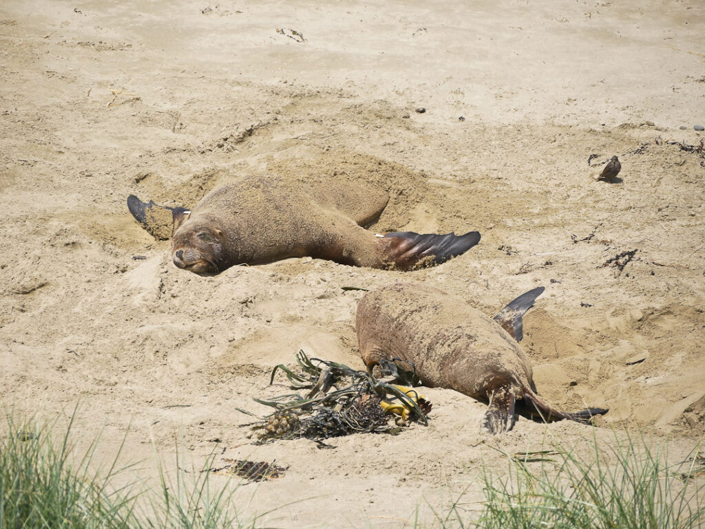
Dunedin city on the east coast of Otago, regards itself as the wildlife capital of New Zealand.
It makes this claim with a high degree of truth! Looked at alone it is impressive. Yet it is is only part of a much larger (coastal) picture. photo: Shag Point looking south
The natural beauty is overlaid with a fascinating cultural history.


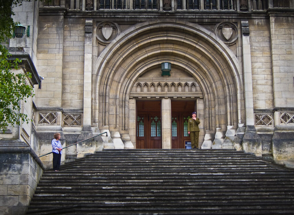
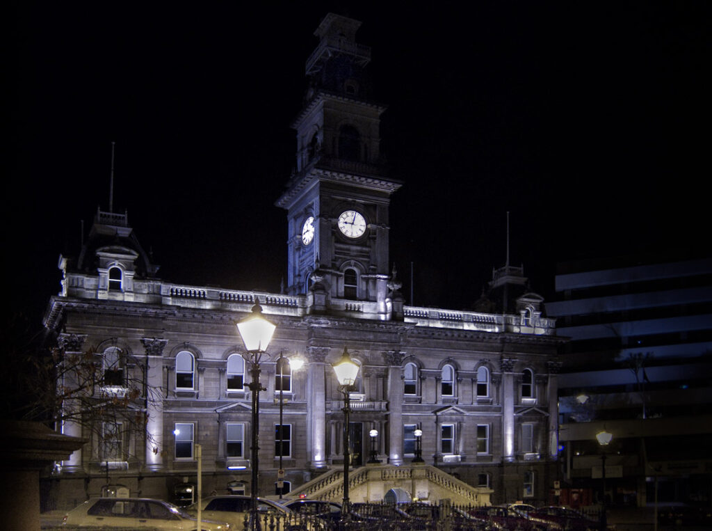
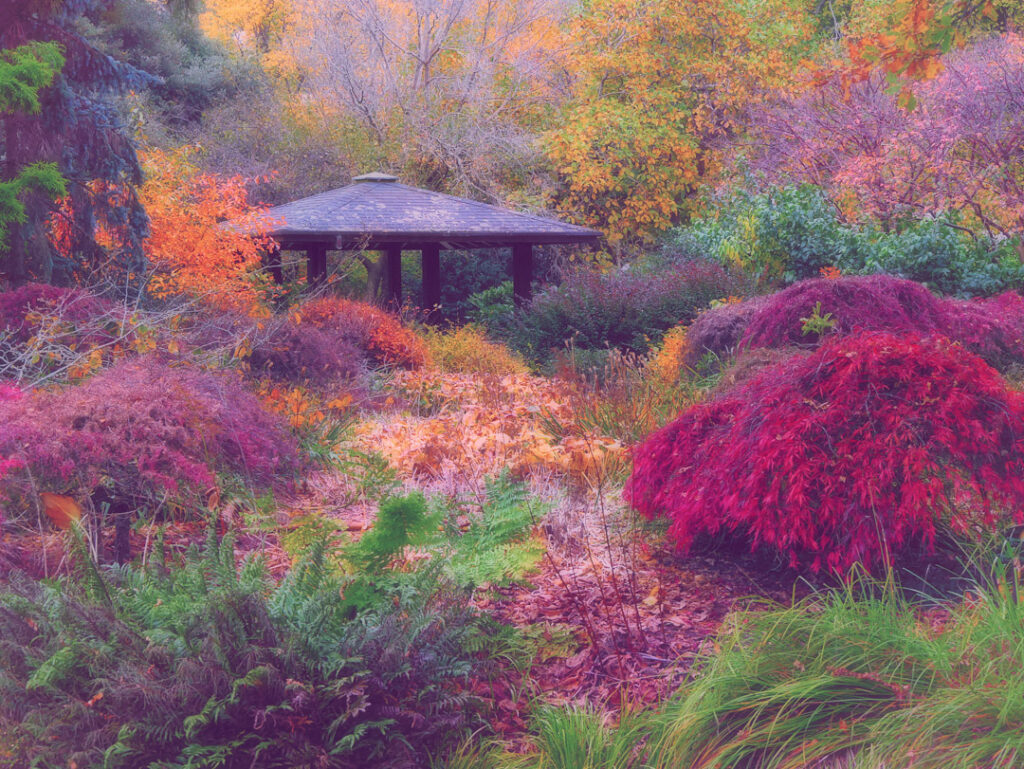
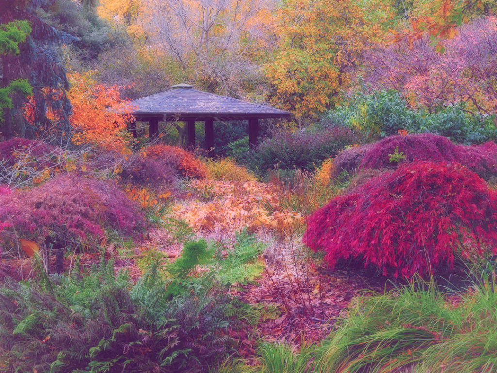
There are many historical buildings apart from the above eclectic selection! images: Main entry stairs, First Church, Moray Place, Dunedin. Dunedin Gardens, autumn colours. Lastly Dunedin Town Hall at night
Larnach Castle, Olveston House, and the Dunedin Railway Station are favourite tourist attractions. The latter being one of New Zealand’s most photographed buildings.

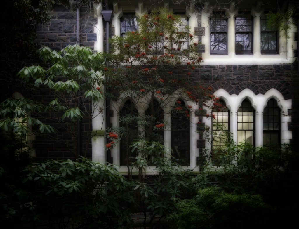
NZ’s oldest university (1869) is but another institution hosting many classic buildings. This one by the Geology Faculty.
It all started in the 1830s with a whaling station in the Otago Harbour. By 1848 a Scottish population became dominant. Dunedin being the old Gaelic name for Edinburgh.

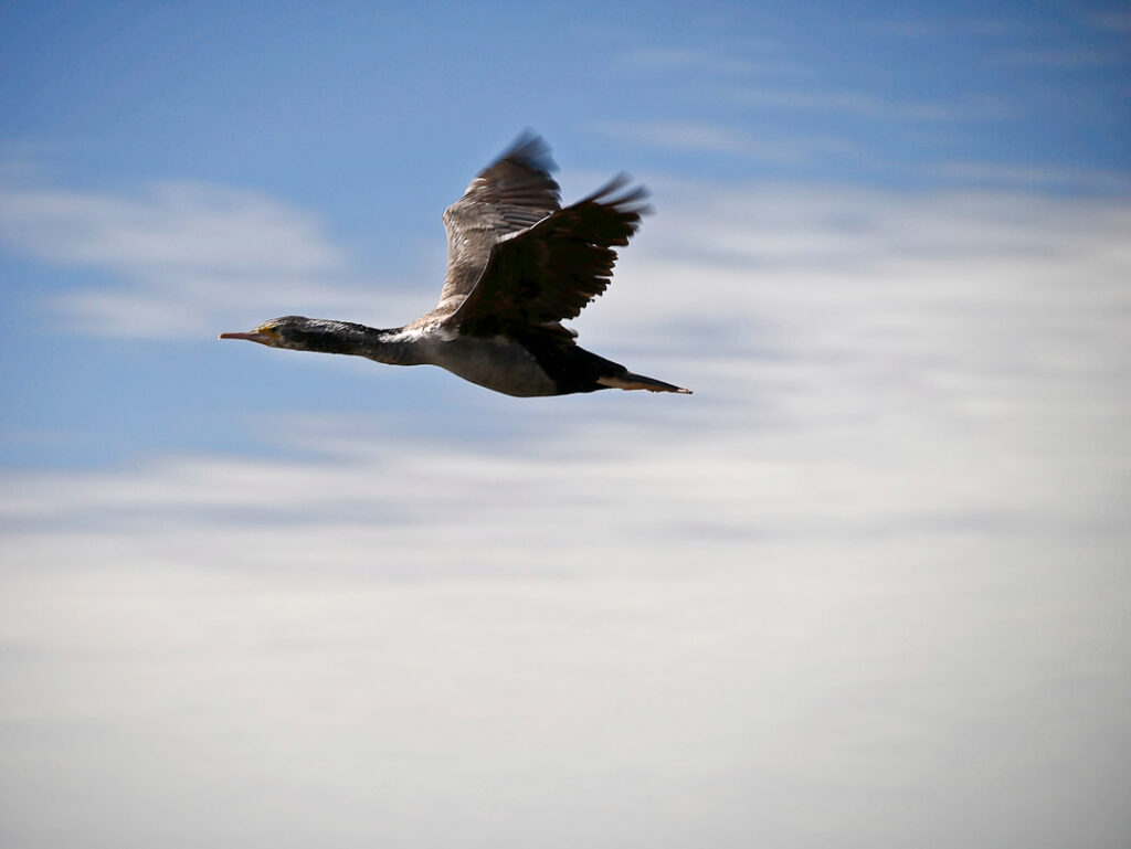
World-class wildlife encounters are possible north and south of the city. Pied shag at speed.


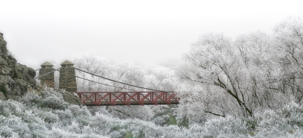
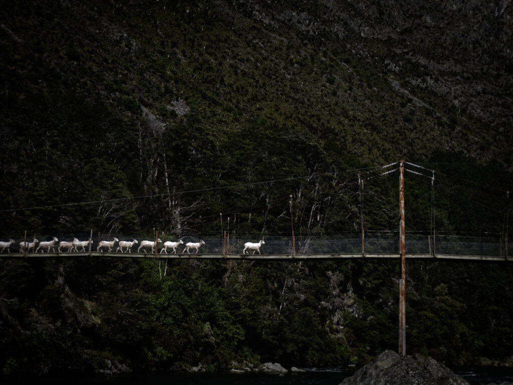
Sheep cross the Greenstone River, located a few kilometers down the (gravel) road from Kinloch, beside the lake.
The bridge serves as an access point to the popular Greenstone Caples round-trip tramping track, offering a moderate and relaxing 3-4 day hike.

Capturing the above image while crossing required two things from us:
(It was mind boggling watching about 2000 of them cross a bridge in an orderly manner. A tribute to the stock men and woman that pulled it off with total respect for the animal’s welfare).
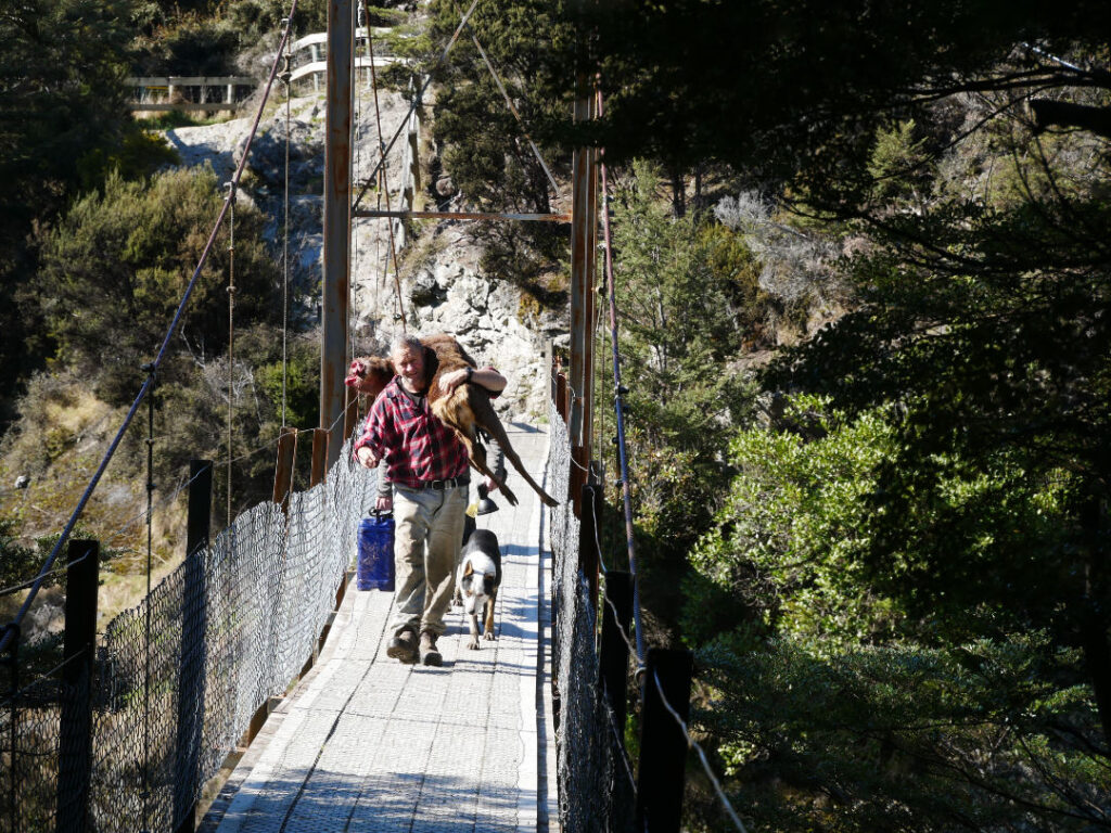
As good Kiwi blokes, when we asked if we could hang around and take a photo, the farmer kindly offered us the best advice on where to be. We understood the importance of being considerate (and carrying venison home signaled they were of similar ilk, as it’s a cherished tradition in New Zealand).

Lake Wakatipu, an inland lake in the South Island of New Zealand, is perhaps better known by the name Queenstown, situated on its eastern shore. Kinloch is positioned at the head of the lake to the west, right beside the primary tributary, the Dart River. Access to Kinloch can be obtained by road through the township of Glenorchy.


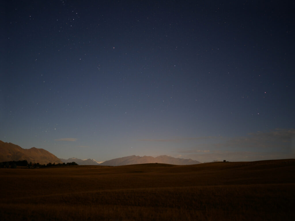
A moonlight shot looking towards Mt Aspiring National Park in the distance. The snowy peak being Mt Avalanche. To the right and in dead center, are the lights of Wanaka, with the Buchanan Mountain Range as a backdrop.

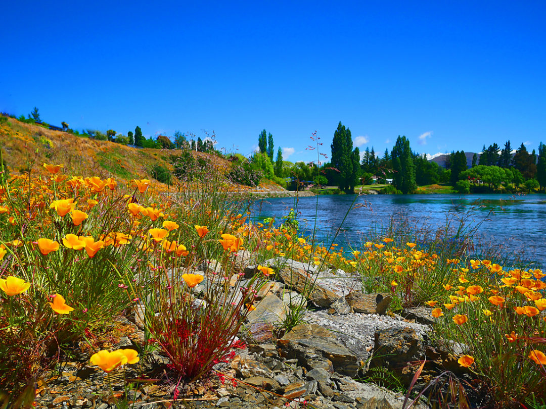
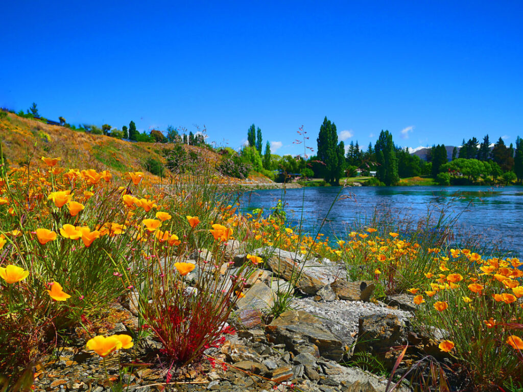
Upper Clutha River near Albert Town Wanaka. California Poppies in December are a delight!

The Cardrona, Hawea, Makarora and Matukituki rivers all feed into the Clutha Mata-Au (formerly Molyneaux). The longest river in the South Island of New Zealand. Wanaka airport is to the left, and Wanaka township, out of sight to the right.

Tangential winter lighting reveals the ancient fluvial processes associated with rivers and streams. And now overlaid by relentless Europeanisation in the name of agriculture.

Paddling the Cromwell Gorge, Clutha River, New Zealand. Circa 1985.
This wild river was no more when Lake Dunstan was formed, beginning in April 1992. It is a man-made lake and reservoir and was formed on the Clutha River as a result of the construction of the Clyde Dam.

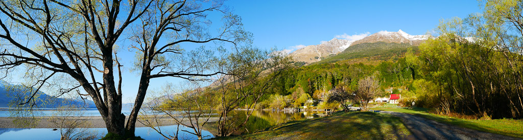
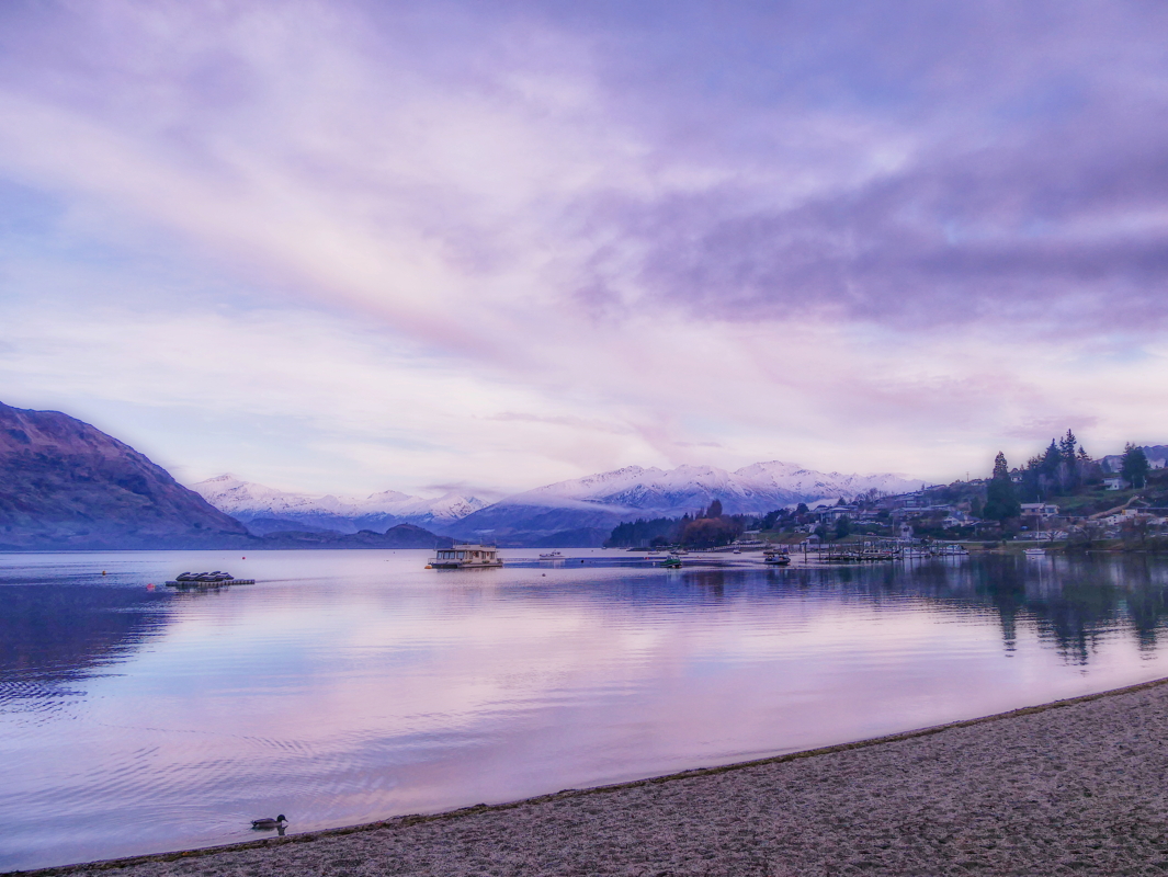
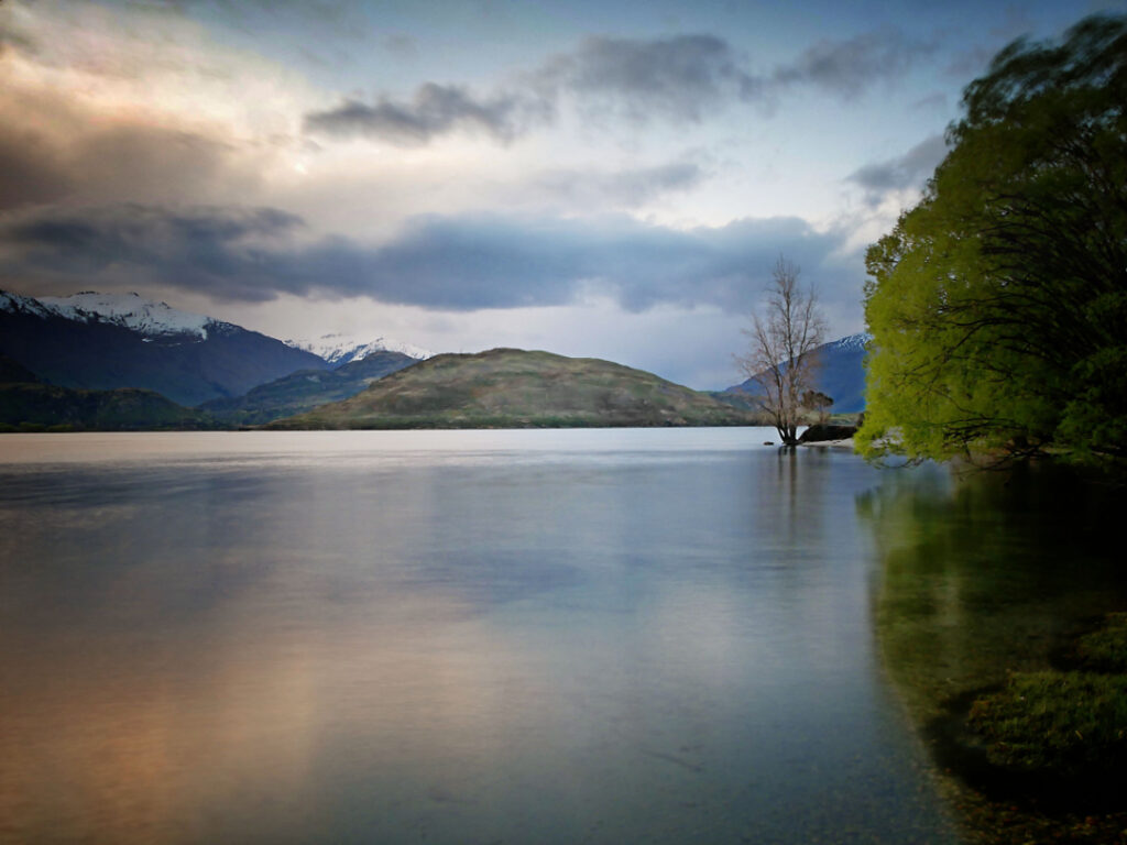
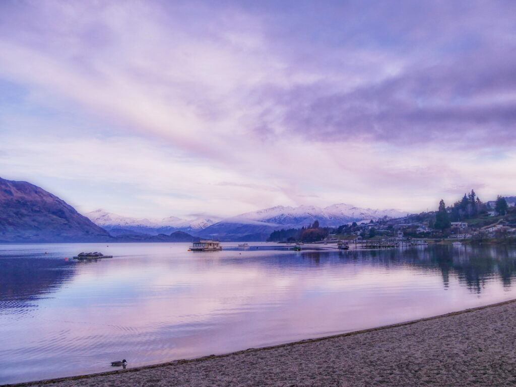
A springtime morning view of Lake Wanaka.
The Buchanan Mountains from Roys Bay, Lake Wanaka, New Zealand.

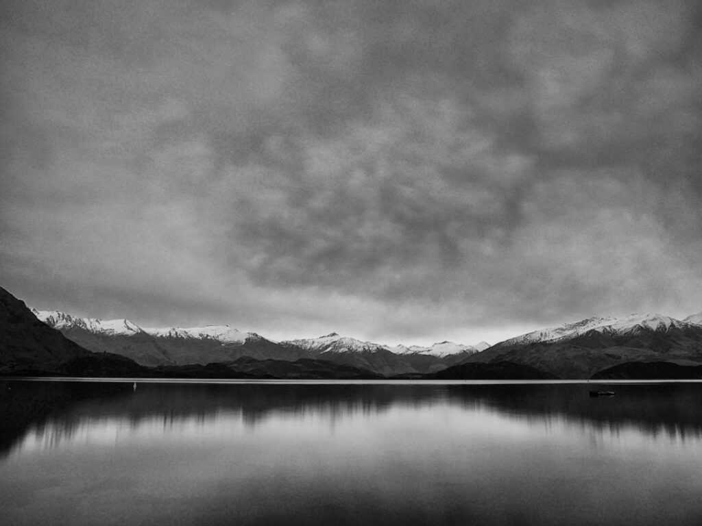
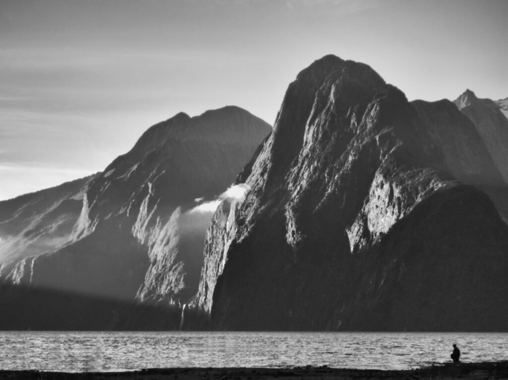
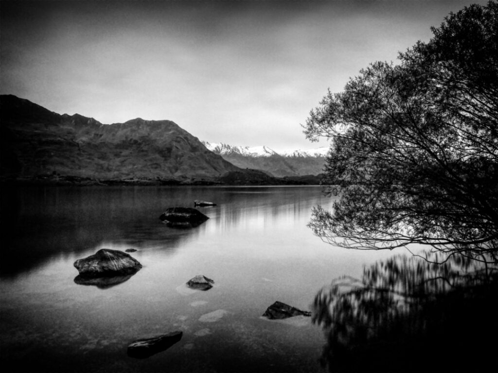
A similar view in black and white.
Black Peak in the center is often mistaken for Mt Aspiring.

Lake Wanaka’s Roys Bay in the evening. With Black Peak in the distance.

Beacon Point is simply a very large and shallow area on Lake Wanaka’s shore. There is a permanent red light hundreds of meters from the point to warn boaties.

Glendhu Bay is a short drive west from Wānaka, Otago, New Zealand. It is on the road to Treble Cone ski field and Mount Aspiring National Park. The bay has a motor camp that is popular with New Zealand locals over the New Year holiday period. Patronage numbers in the many thousands.

Buchanan Mountain Range, from Wanaka
Braided rivers are a common in Alaska, Canada, New Zealand’s South Island, and the Himalayas, which all contain young, rapidly eroding mountains. They are a unique environment inhabited by equally unique birds.
They simply cannot contain a river in a straight line. In floods especially they carry sediment, and in places where the flow slows down this settles on the bottom, thus raising it. And the water flows off to the side of least resistance. This will happen constantly during floods.
The technique for gathering bird numbers on these sort of rivers is quite simple: a team of four people spread out, in radio contact with each other, walk downstream counting every bird they see in front of them. On the ground or airborne.
And at that point the simplicity vanishes! Very finely tuned river crossing skills are needed, as well as “an eye” for the line that will give the best results. Plus physical stamina.
The tools of the trade are: a radio each, walking pole to aid crossings, binoculars, sun-cream, sun hat, good boots and gaiters [to stop gravels getting in the socks], GPS each, and a pen/paper/clipboard. Plus lunch, warm clothing, a camera etc. Warm dry socks also help at the end of the day.


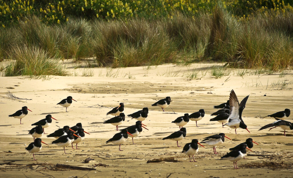
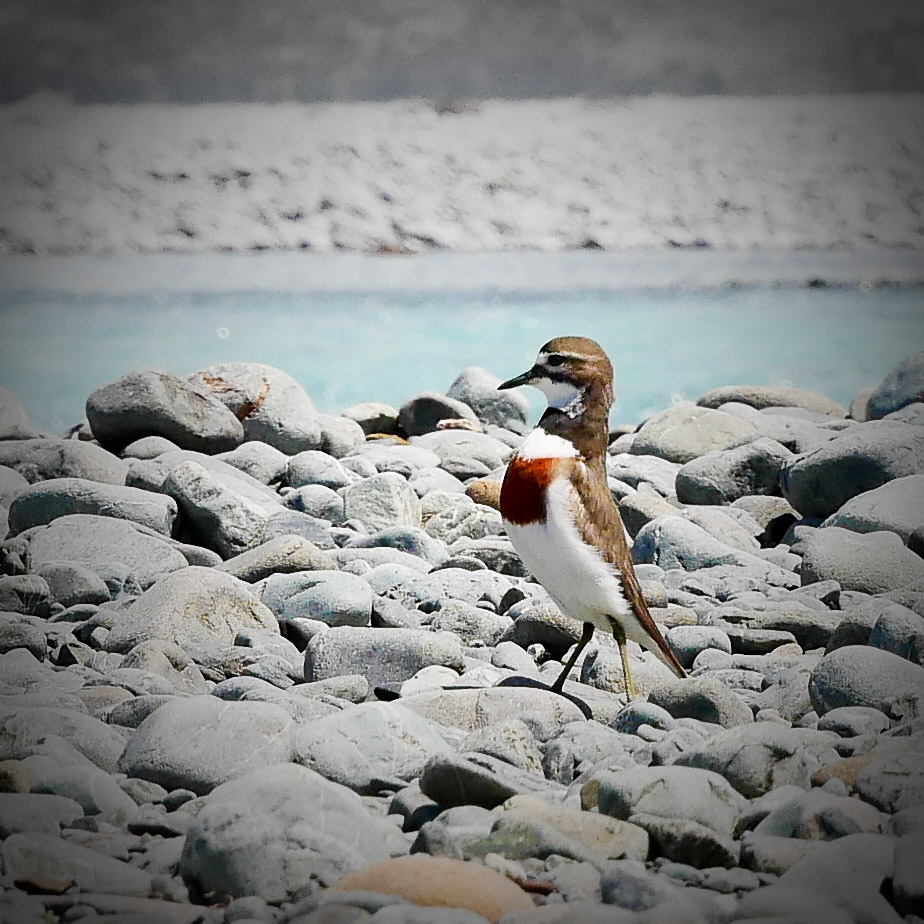
There are about six species that are primarily dependent on the braided river habitat: wrybill, banded dotterel, south island pied oyster-catcher, black-fronted tern, black-billed gull, black stilt) as well as the caspian tern and the pied stilt. The villain of the piece though is the black-back gull, as they predate on the eggs of the others.


Obviously the results of such monitoring give a good guide as to the health of the environments concerned.
However the data as regards where breeding colonies are located, can be used for the most efficient locations for a new trapping lines. There is an attrition of traps though – during floods despite them being anchored by a chain to a long steel stake hammered in, they get washed away. Often the best compromise often considered, is for them to be near a bank that exhibits a history of stability, and place them with a shorter distance apart than the 200 mt standard in the bush, so as to create a fence of sorts.

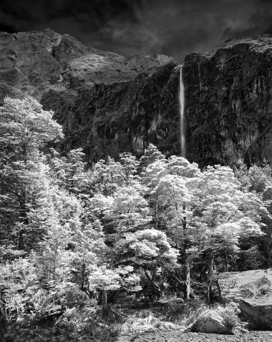
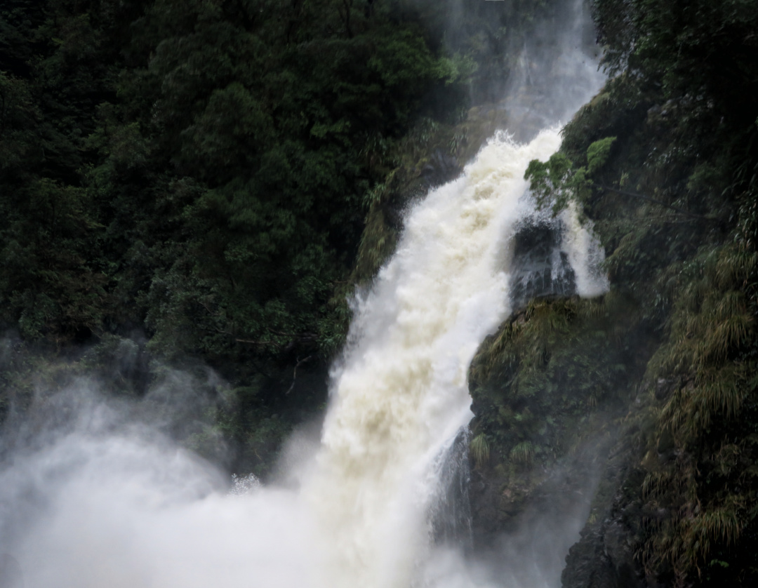
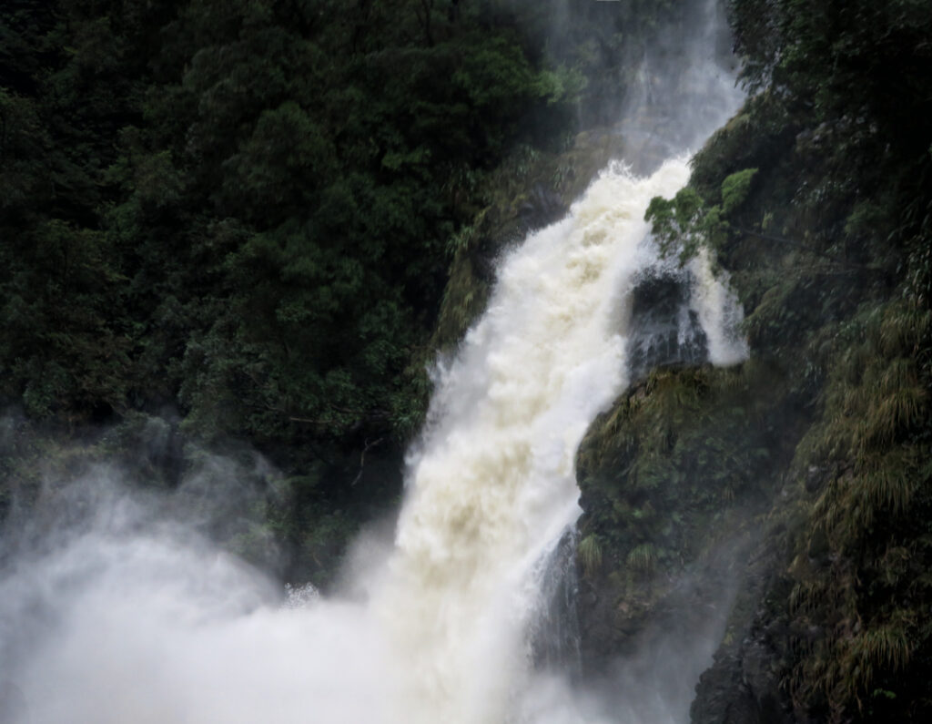
Waterfall and Beech Forest on the Rob Roy Glacier Walk New Zealand. B&W
The walk starts at the Raspberry Creek car park, 54 km west of Wanaka. After about 15 minutes it enters Mount Aspiring National Park. It is an easy 3-4 hours.

So named as in the old days of deer hunting when carcasses would be hung in it to age nicely.

Note the tannin coloured water typical of the area. 7 metres of rain annually With over an average of appox. 200 rain-days/year.


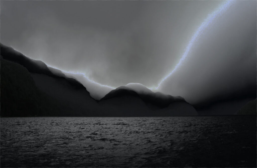
Sunset side lighting on storm clouds in Long Sound in Preservation Inlet, Fiordland National Park, New Zealand

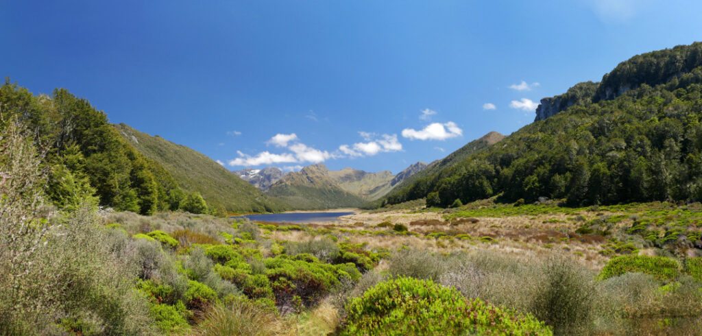
Situated in the Murchison Mountains. Home of the takahe.
___

Dawn. Moke Lake is a small lake just a 15 minute drive from Queenstown, in the South Island of New Zealand.
There is a Dept. of Conservation camping area on the northern shores. And the short Moke Lake Loop Track is popular with walkers and cyclists.

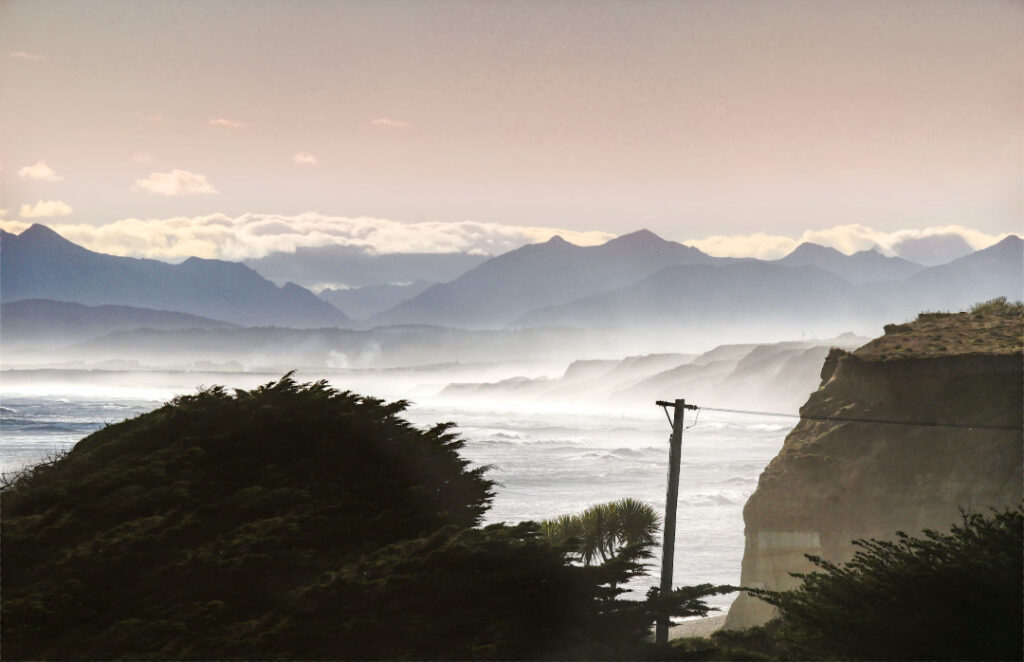
Gemstone Beach Southland New Zealand.
Gemstone Beach is part of Te Waewae Bay, and near Tuatapere and Orepuki
Semi-precious stones such as garnet, jasper, quartz and nephrite can often be found on the beach. Subject to change of the surface. Sand to stones and back again occurs with the storms and tides of this very wild coast line. The very best of the Southern Coastline!

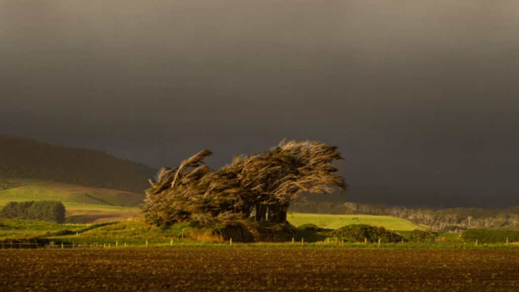
Wind swept trees on farmland, near Tuatapere, Southland, New Zealand
Tuatapere is on the edge of Fiordland National Park’s wilderness. There is spectacular unspoilt scenery merging with lush rolling farmland. It is an ideal base for many wilderness activities such as tramping, fishing, whitebaiting, hunting and jet boating.
The Waiau River flows through the town before reaching Te Waewae Bay, where Hector’s dolphins and whales are often seen. There is a rich sawmilling history and the area is home to a logging museum, along with many other quaint reminders of the town’s pioneering history.

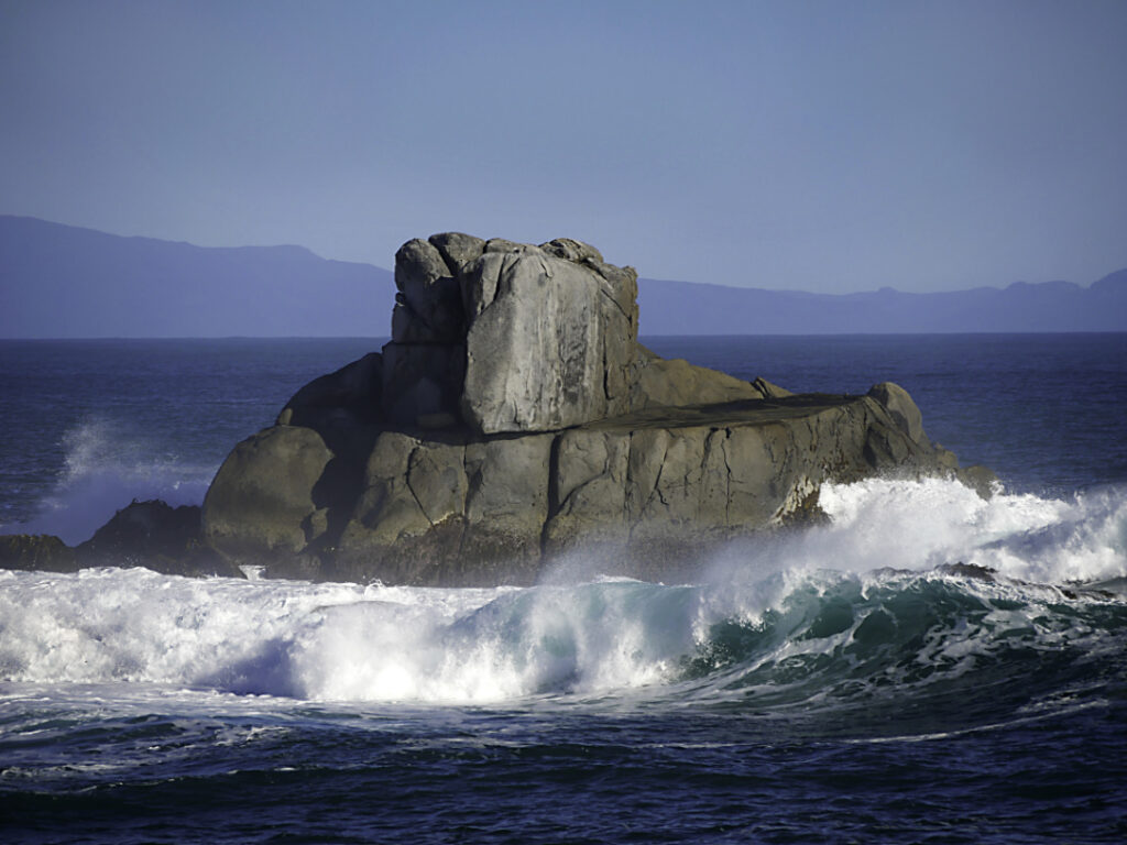
Cosy Nook Beach Southland New Zealand.
Cosy Nook is on the coastal road between Invercargill and Tuatapere, close to Colac Bay, Gemstone Beach and Monkey Island. And part of part of Te Waewae Bay
It is a picturesque rocky cove sheltering several fishing boats and holiday cribs and baches. It is an important cultural and historical Maori settlement site.
Pahi, as it was originally named after Ngai Tahu Chief Pahi, boasted one of the oldest and largest Maori villages in coastal Murihiku in the 1820s. Captain George Thomson, Harbourmaster of Bluff, named his property Cozy Neuk, after his homeland Scottish village. He was the first European settler.
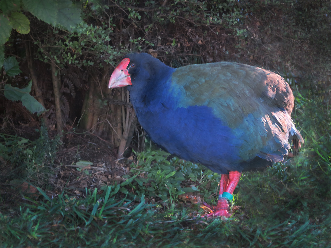
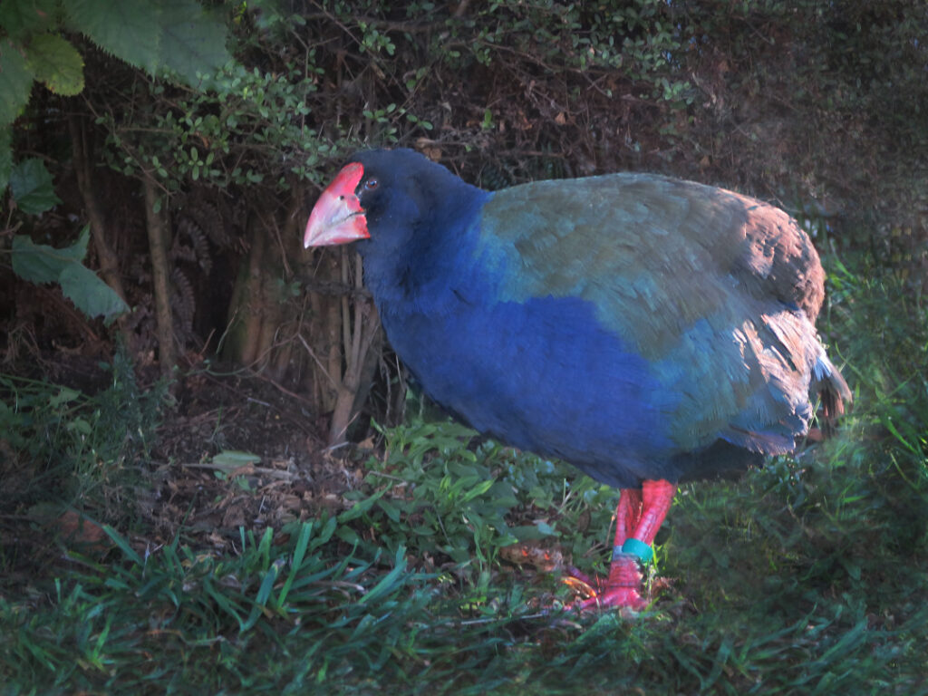
Takahē or notornis – a bird of the rail family, indigenous to New Zealand.

Thought to be extinct, due to hunting by Māori. It was not named or described by Europeans until 1847, and then only from fossil bones.

It was then rediscovered by Dr G. Orbell in 1948. In the Murchison Mountains, Fiordland National Park.
There have been ups and downs. Currently the population by the lake number more than 200. Translocation has also been happening to other safe areas in New Zealand. It is still at risk, but on a steady path to larger numbers.

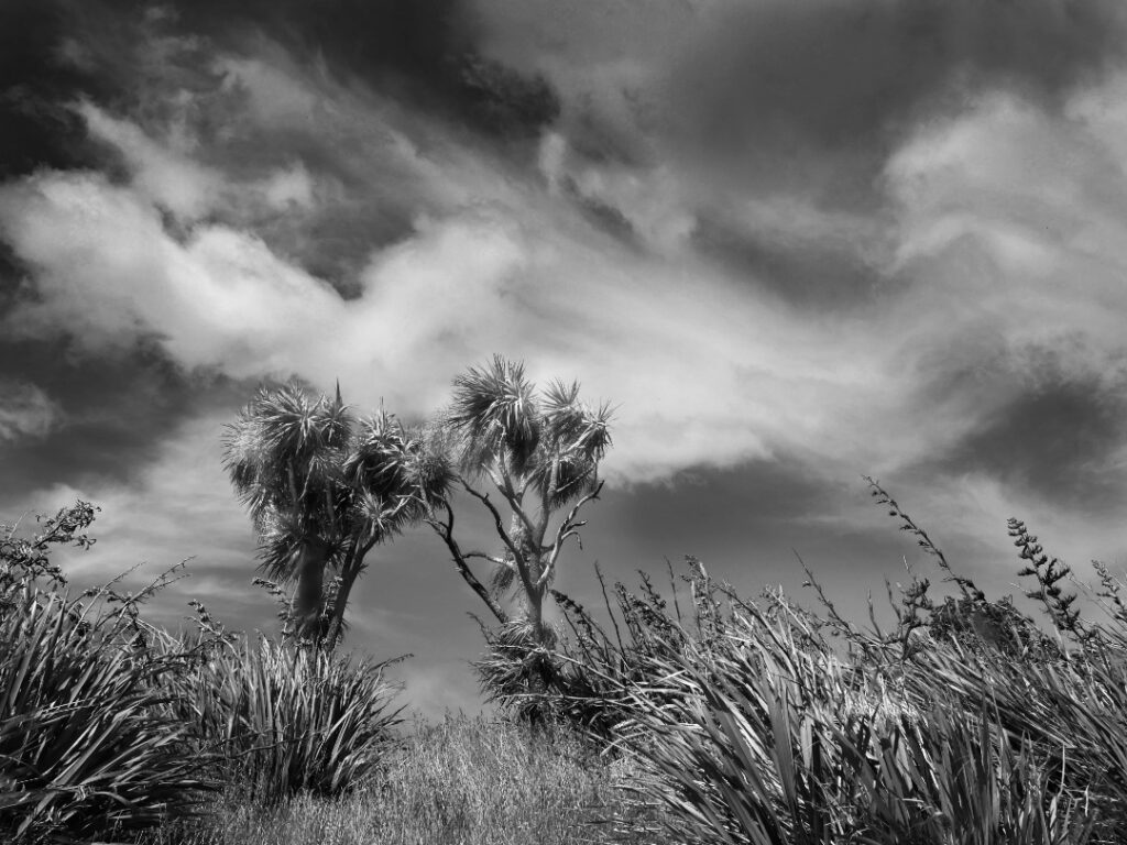
New Zealand landscape. They will often reach a height of 12-20 metres. Very popular in Britain, Europe, and the U.S. In the former they’re known as Torquay palm.
The flowers are very scented in early summer, and turn into bluish-white berries that birds love to eat. It is very fire-resistant. Māori used cabbage trees as a food, fibre and medicine. The leaves were woven into baskets, sandals, rope, rain capes and other items and were also made into tea to cure diarrhoea and dysentery. Lastly they were also planted to mark trails, boundaries, urupā (cemeteries) and births, since they are generally long-lived.
There are two identified species of flax in New Zealand – common flax (harakeke) and mountain flax (wharariki). (Harakeke is really a lily).They are unique to New Zealand and is one of our most ancient plant species. It grows up to 3 metres and its flower stalks can reach up to 4 metres. Tui, bellbirds/ korimako, saddlebacks/tīeke, short tailed bats/pekapeka, geckos and several types of insects enjoy nectar from the flax flower.
Flax was a valuable resource to Europeans during the 19th century because of its strength. It was New Zealand’s biggest export by far until wool and frozen mutton took over. Today, it is used in soaps, hand creams, shampoos and a range of other cosmetics. Flaxseed oil can also be found for sale.
Flax was the most important fibre plant to Māori in New Zealand. Each pā or marae typically had a ‘pā harakeke’, or flax plantation. Different varieties were specially grown for their strength, softness, colour and fibre content.
The uses of the flax fibre were numerous and varied. Weaving is now very common. Clothing, mats, plates, baskets, ropes, bird snares, lashings, fishing lines and nets were all made from flax leaves. Floats or rafts were made out of bundles of dried flower stalks. The abundant nectar from flax flowers was used to sweeten food and beverages. Flax also had many medicinal uses.
The outer layer represented the grandparents, whereas the inner layer of new shoots – the child – remained and were to be protected by the next inner layer of leaves, the parents.

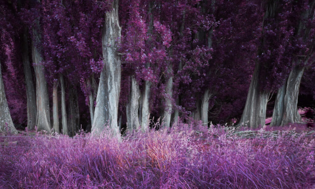
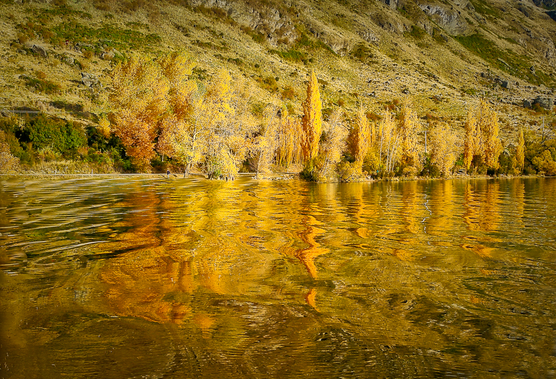
Poplars were first grown in New Zealand in the 1830s. Although ornamental in Central Otago they were primarily planted upwind in rather mundane straight lines to provide shelter for stock and houses. Especially from wind, but also to provide shelter from the intense summer sun .
This is probably the Lombardy poplar, given its column-like form. And was also often planted to mark boundaries and river fords as they could be seen from a distance. This planting is very grouped thus supplying quite a magical feel, in the gathering dusk of a summer evening.

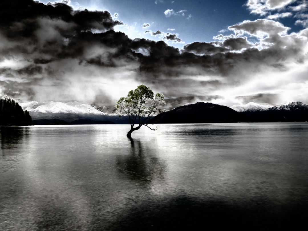
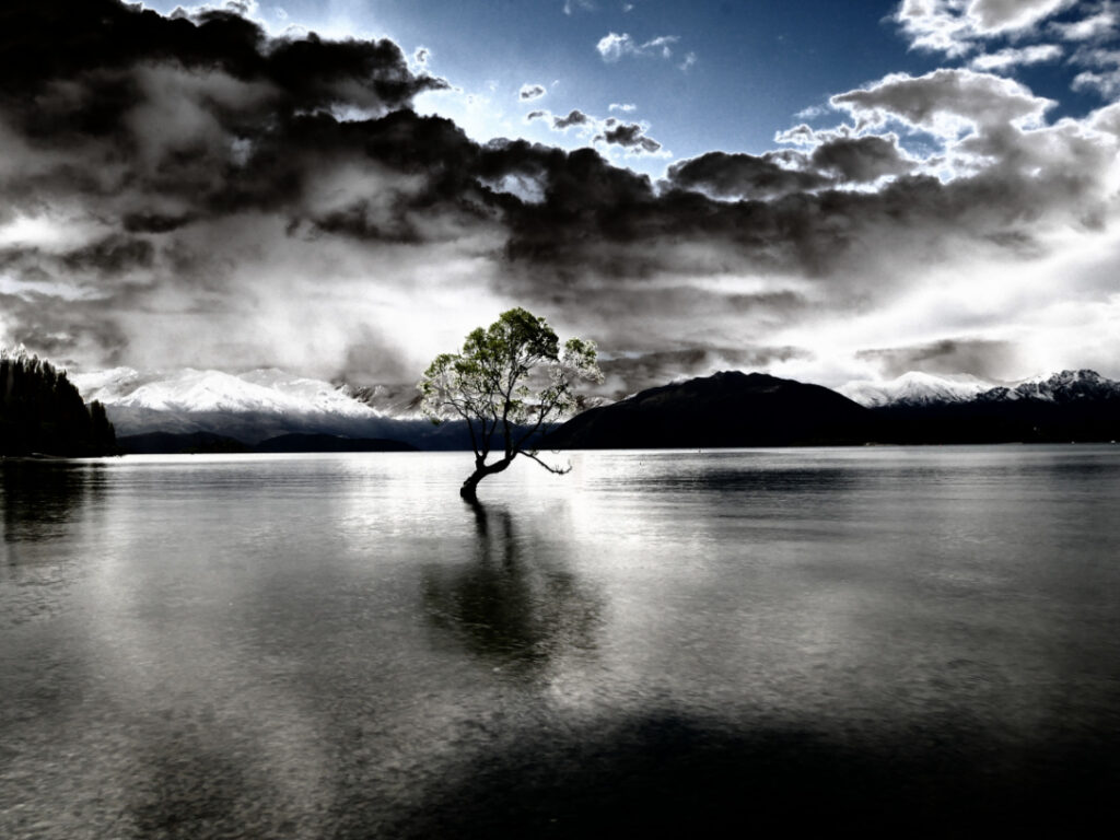
That Wanaka Tree!
A willow that was once a fence post. Now a “must see/photograph” for every tourist that comes to New Zealand.
There were various reasons for lots of local NZ travel in 2019, and fortunately I had the time often to not rush trips across the likes of Central Otago, e.g. Wanaka to Dunedin and return.
The images below are very roughly in chronological order, but being lots of them I’ve uploaded with speed in mind – life in 2020 is nice and full, and sitting at a keyboard is best kept to a minimum. Enjoy!


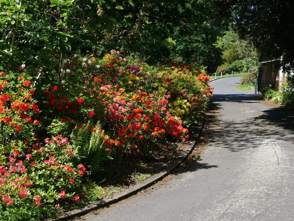
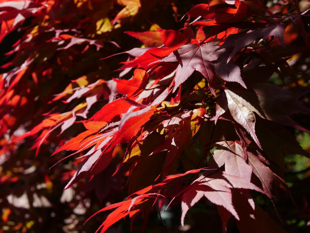
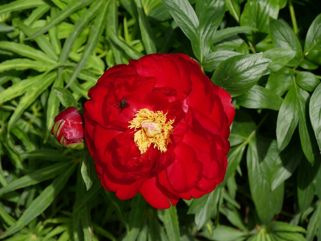
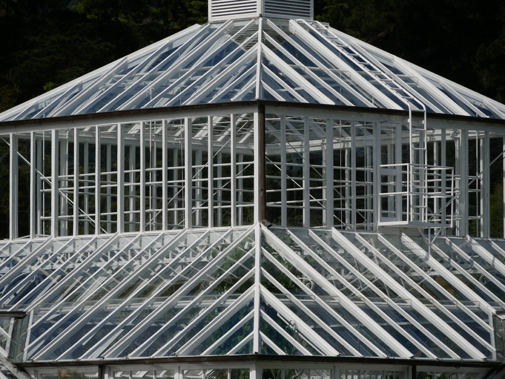
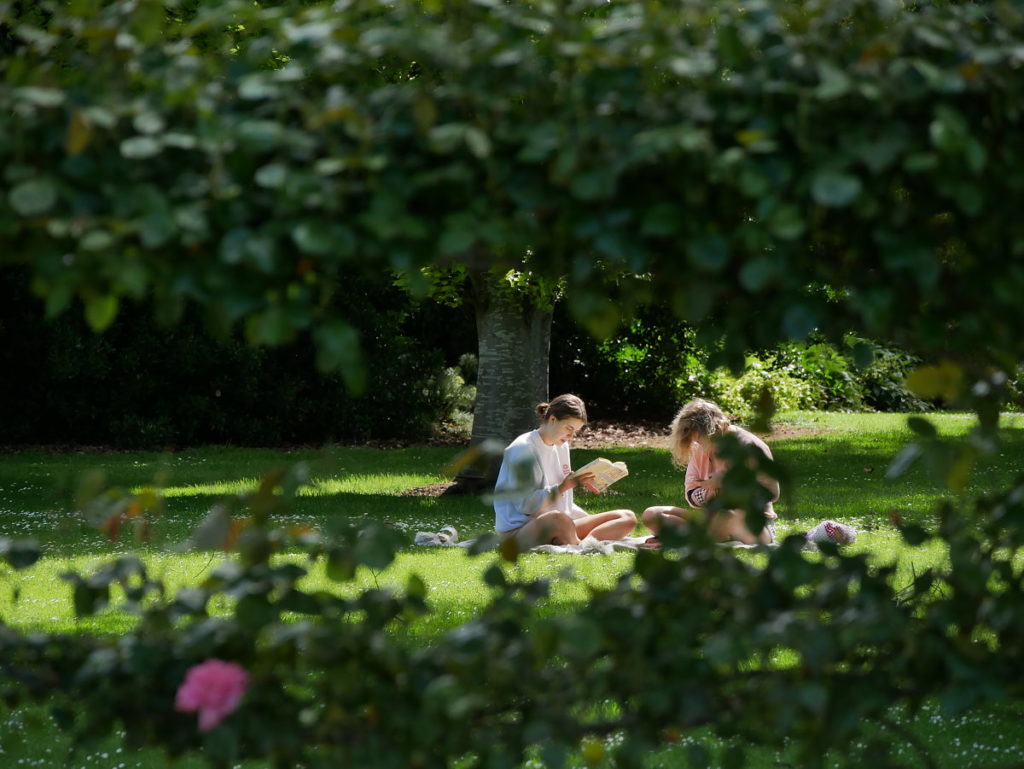
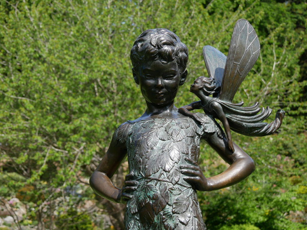
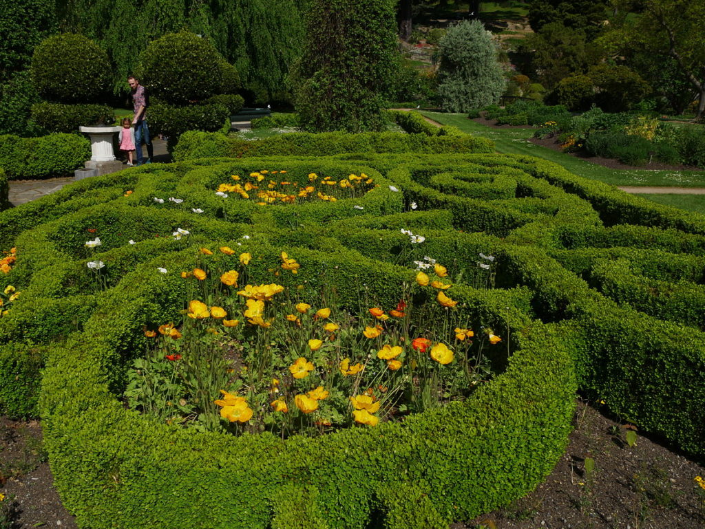
I often go to Dunedin for many varied reasons, and one of the delights of every trip is a visit or two to the oldest botanical garden in New Zealand, which was established in 1863.
There are two parts of the Dunedin Botanic Garden, linked indiscernibly, known as the upper gardens and the lower gardens which merge nicely with the University of Otago campus. View Google Map
The initial garden was established on a site now occupied by the University but due to extensive flooding in 1868, the gardens were moved to their current site in 1869.