Braided River Bird Monitoring

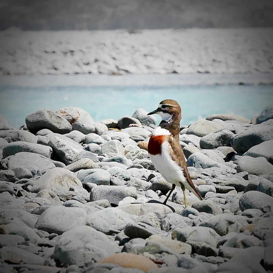
banded dotteral

Braided rivers are a common in Alaska, Canada, New Zealand’s South Island, and the Himalayas, which all contain young, rapidly eroding mountains. They are a unique environment inhabited by equally unique birds.

They simply cannot contain a river in a straight line. In floods especially they carry sediment, and in places where the flow slows down this settles on the bottom, thus raising it. And the water flows off to the side of least resistance. This will happen constantly during floods.

The technique for gathering bird numbers on these sort of rivers is quite simple: a team of four people spread out, in radio contact with each other, walk downstream counting every bird they see in front of them. On the ground or airborne.

And at that point the simplicity vanishes! Very finely tuned river crossing skills are needed, as well as “an eye” for the line that will give the best results. Plus physical stamina.

The tools of the trade are: a radio each, walking pole to aid crossings, binoculars, sun-cream, sun hat, good boots and gaiters [to stop gravels getting in the socks], GPS each, and a pen/paper/clipboard. Plus lunch, warm clothing, a camera etc. Warm dry socks also help at the end of the day.

A view upstream of the Hunter River that feeds Lake Hawea in Otago, New Zealand
Preparation. In this case to get into the very remote Hunter Valley. In the Wanaka area two other rivers, the Matukituki and Makarora are also done, and they don’t require a helicopter drop in. There is 25 years now of history – each river being monitored every third year.

The three year cycle is sometimes hard to maintain. The work has to be done in the spring when the birds are breeding, and this is when there is a high frequency of floods, with high levels due to snow melt.
After a short but steep climb in the helicopter from Makarora town-ship, on popping over the ridge the large and rugged Mckerrow Range come into full panoramic view [actually named after a close friend’s grandfather who did lots of surveying and exploring.
Dropping the over-night gear off by a hut, before flying further up the valley to begin the survey.
On the left [note the silt in the grass!] where we only go to avoid a complex river crossing; and where we do – the gravel on the right.
One species of many that we’re looking for. The ‎nationally vulnerable banded dotterel / tūturiwhatu, is the most common small plover of New Zealand seashores, estuaries and riverbeds.

This one is feigning a broken wing to lead the surveyor/photographer away from a nest.

After breeding, they either remain at the nesting area or move relatively short distances to nearby estuaries.
Typical nesting surface, and one of the team striding it out. Being very careful to not stand on eggs!
On the wing. A black fronted tern. Not in the Hunter though, but the Tasman River near Mt Cook. The blue colouring of the very cold water is caused by rock ground up by glaciers.

There are about six species that are primarily dependent on the braided river habitat: wrybill, banded dotterel, south island pied oyster-catcher, black-fronted tern, black-billed gull, black stilt) as well as the caspian tern and the pied stilt. The villain of the piece though is the black-back gull, as they predate on the eggs of the others.

Teaming up – linking arms for mutual support. Lots of concentration is required so it’s harder to observe what maybe in the air ahead. However the most experienced person leading the crossing, which is nearly done, has in this instance time to look. River crossing is best done by not looking down, which upsets balance, and with great care – there is no Plan B if people get swept away.
When not to cross at all – just too big and not braided into smaller channels.
The job is going well!
What we don’t want to see, but if we do, weeds are recorded as Way Points on a GPS, so that DOC staff can return later to deal to them. The most often encountered on the above mentioned rivers is this area, is often broom.

We don’t encounter many lupins in the above mentioned rivers. This photo is in the nearby Ahuriri. Lupins, which the birds don’t like, offer cover to predators. Foolishly seeds were spread many decades ago by well meaning people wanting to add some colour to the grey landscape. And the seeds can remain for years until uncovered by a flood as they’re coated with a protective oil.
A sad aspect of some surveys is that we know that after a bank-to-bank spring flood hundreds of these young birds are washed away. These are a few surviving gulls after such an event in the Matukituki a few years back.
Knock off time – a classic old-time hut.
Every hut has one
Evening and time for sleep. Tomorrow morning the survey will resume tidying up the riverbed to the right.
Job over and pickup
The long and sometimes bumpy drive home beside Lake Hawea

Obviously the results of such monitoring give a good guide as to the health of the environments concerned.

However the data as regards where breeding colonies are located, can be used for the most efficient locations for a new trapping lines. There is an attrition of traps though – during floods despite them being anchored by a chain to a long steel stake hammered in, they get washed away. Often the best compromise often considered, is for them to be near a bank that exhibits a history of stability, and place them with a shorter distance apart than the 200 mt standard in the bush, so as to create a fence of sorts.
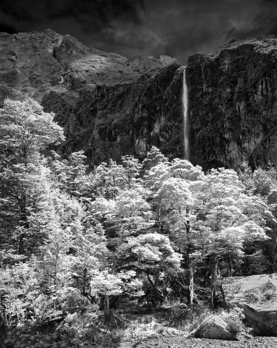
Mt Aspiring National Park

Waterfall, Mount Aspiring National Park, Rob Roy Glacier
Rob Roy Glacier walk, and waterfall

Waterfall and Beech Forest on the Rob Roy Glacier Walk New Zealand. B&W

The walk starts at the Raspberry Creek car park, 54 km west of Wanaka. After about 15 minutes it enters Mount Aspiring National Park. It is an easy 3-4 hours.

Historic Buildings

Dunedin Railway Station and stairs

The Dunedin Railway Station is the grandest ‘Gingerbread House’ you’ll ever see.

Dunedin Railway Station, New Zealand

Going back to 1906, this magnificent Flemish Renaissance-style edifice increasingly entraps the public. White Oamaru limestone facings on black basalt rock, creates a timeless and dramatic air.

The grandiose style and rich embellishments earned architect George Troup the nickname of Gingerbread George.

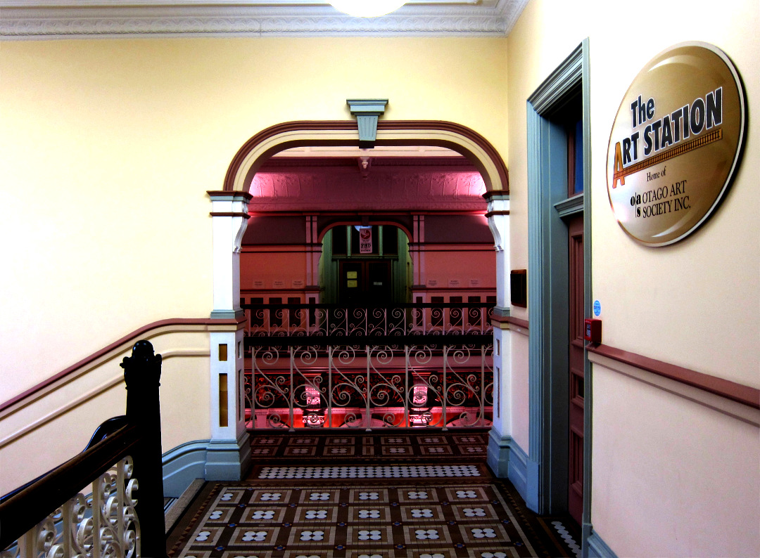
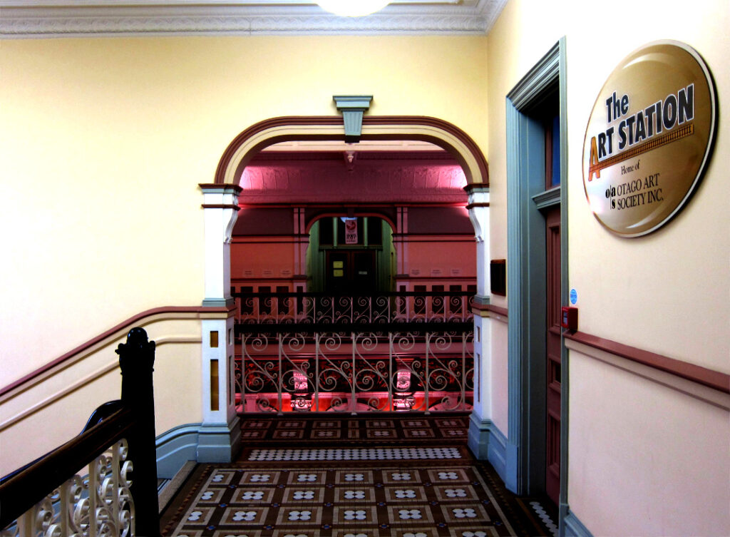
Dunedin Railway Station – Foyer

The building is also home to the Otago Art Society

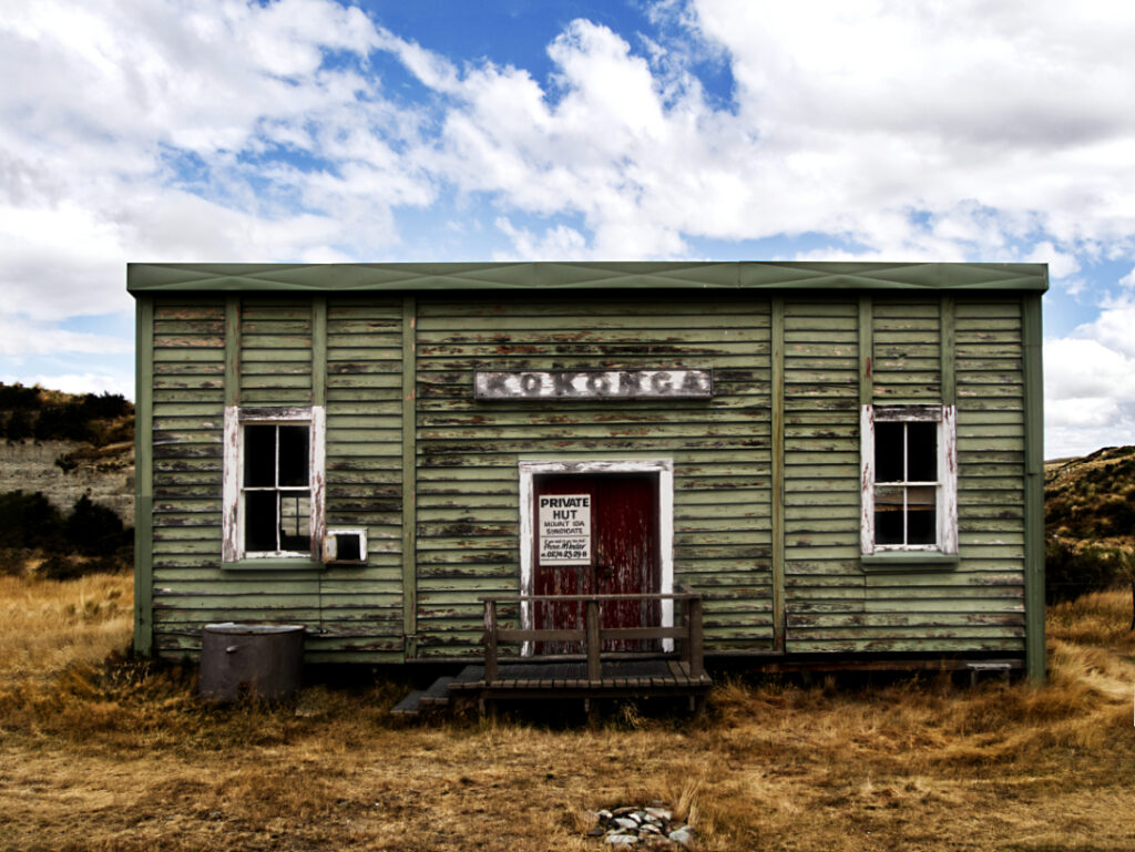
Kokonga hut in the Oteake area of Central Otago, New Zealand
Kokonga hut in the Oteake area of Central Otago, New Zealand Originally a railway station on the Dunedin to Clyde line, it was relocated to a remote area, and is used as a mustering hut. The railway line no longer exists as such – it’s now the Otago Central Rail Trail constructed for walkers, cyclists and horse riders.

Fiordland New Zealand

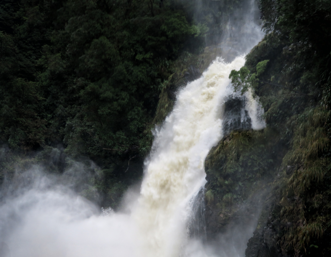
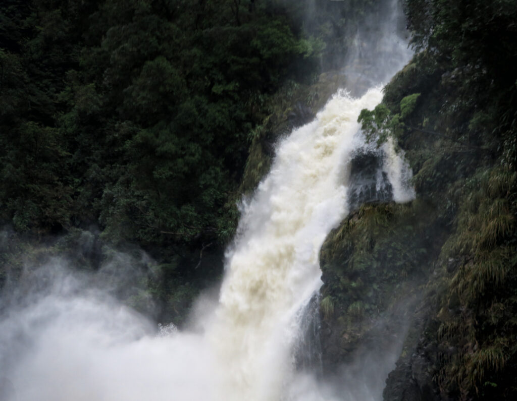
Waterfall, Fiordland National Park New Zealand

Waterfall, Fiordland National Park New Zealand.

Note the tannin coloured water typical of the area. 7 metres of rain annually With over an average of appox. 200 rain-days/year.

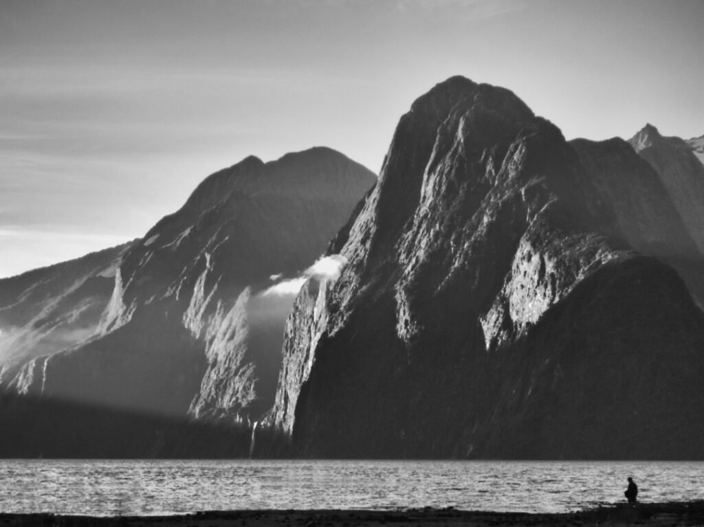
Sunset Milford Sound New Zealand.

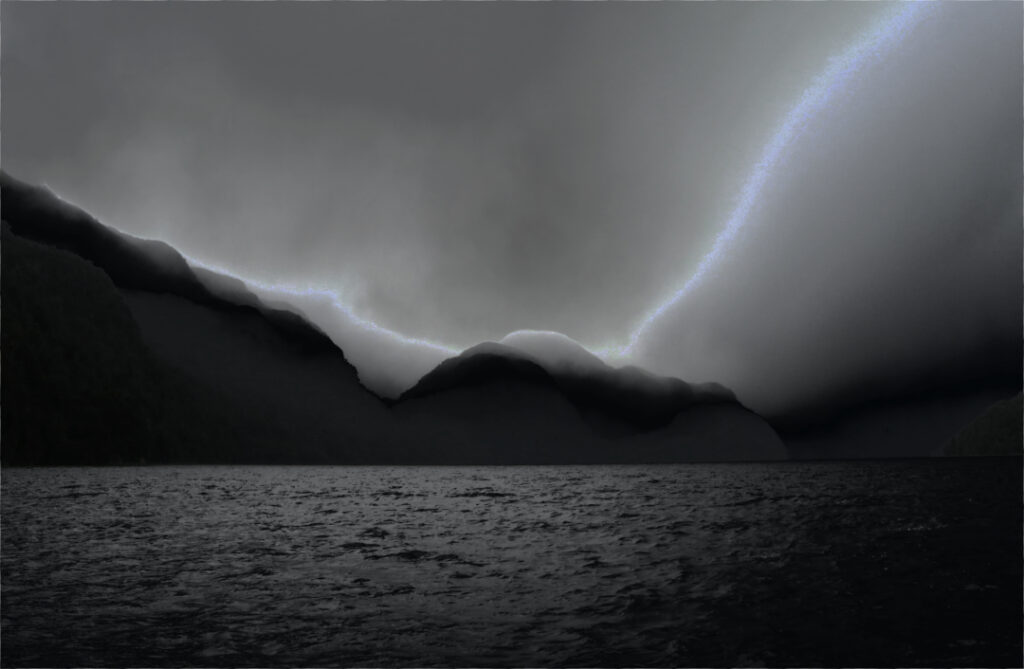
Sunset side lighting on storm clouds in Long Sound in Preservation Inlet, Fiordland National Park, New Zealand

Fiordland. Sunset outlined clouds in Long Sound

Sunset side lighting on storm clouds in Long Sound in Preservation Inlet, Fiordland National Park, New Zealand

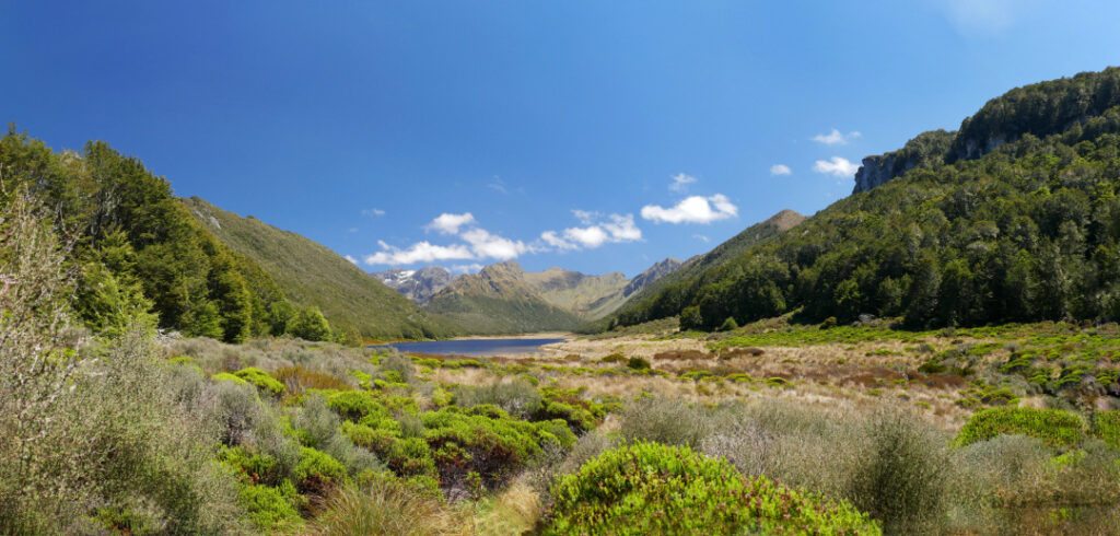
Lake Orbell, Fiordland NAtional Park, New Zealand
Lake Orbell, Fiordland National Park. A panorama 6727 px wide.

Situated in the Murchison Mountains. Home of the takahe.

___

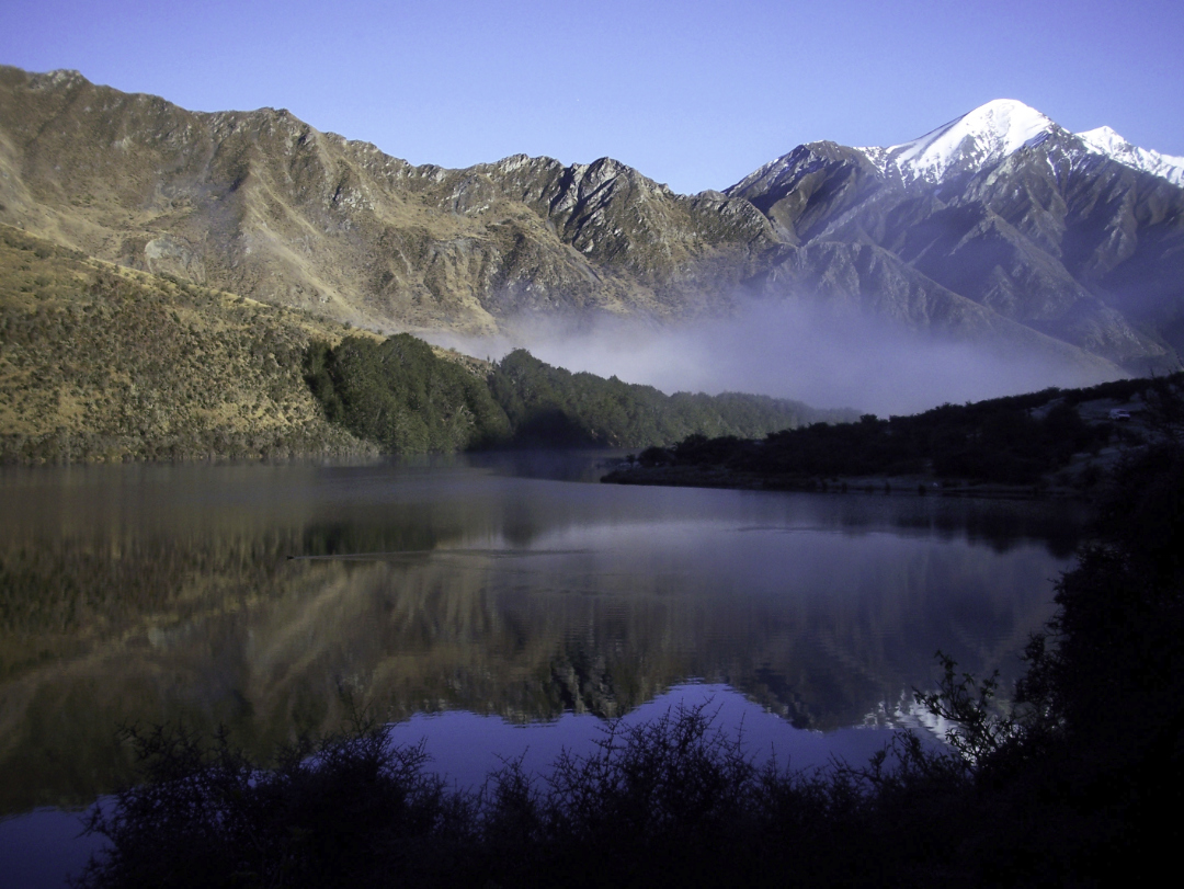
Moke Lake, Queenstown

Moke Lake, Queenstown, New Zealand

Dawn. Moke Lake is a small lake just a 15 minute drive from Queenstown, in the South Island of New Zealand.

There is a Dept. of Conservation camping area on the northern shores. And the short Moke Lake Loop Track is popular with walkers and cyclists.

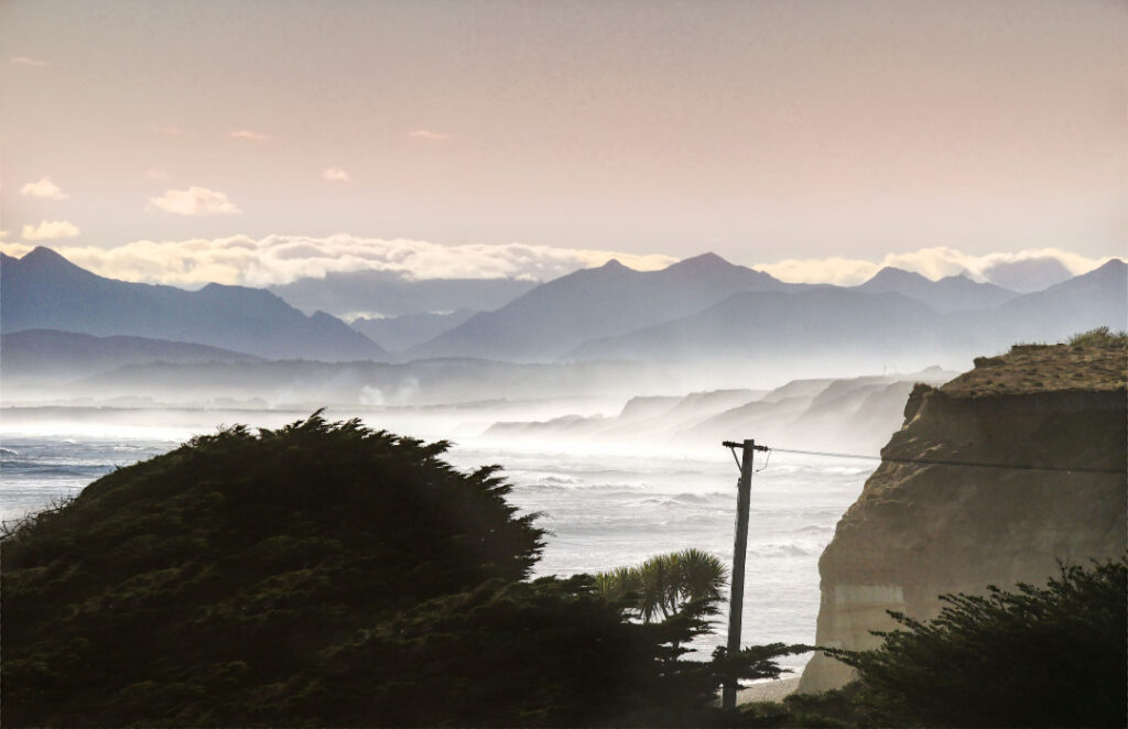
The Southern Coast of New Zealand

Gemstone Beach, Southland, New Zealand

Gemstone Beach Southland New Zealand.

Gemstone Beach is part of Te Waewae Bay, and near Tuatapere and Orepuki

Semi-precious stones such as garnet, jasper, quartz and nephrite can often be found on the beach. Subject to change of the surface. Sand to stones and back again occurs with the storms and tides of this very wild coast line. The very best of the Southern Coastline!


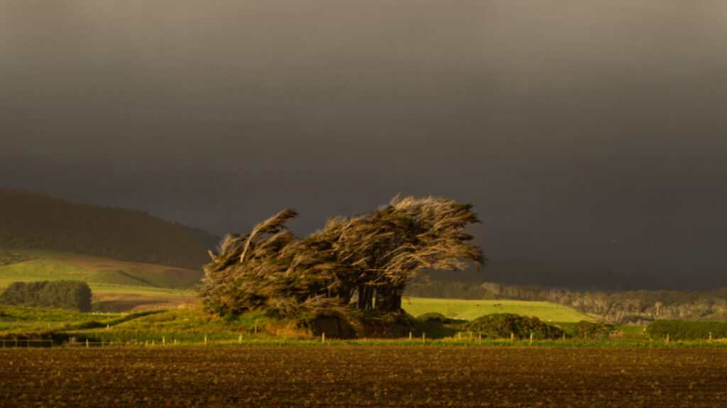
Wind swept trees on farmland, near Tuatapere, Southland, New Zealand

Tuatapere is on the edge of Fiordland National Park’s wilderness. There is spectacular unspoilt scenery merging with lush rolling farmland. It is an ideal base for many wilderness activities such as tramping, fishing, whitebaiting, hunting and jet boating.
The Waiau River flows through the town before reaching Te Waewae Bay, where Hector’s dolphins and whales are often seen. There is a rich sawmilling history and the area is home to a logging museum, along with many other quaint reminders of the town’s pioneering history. 


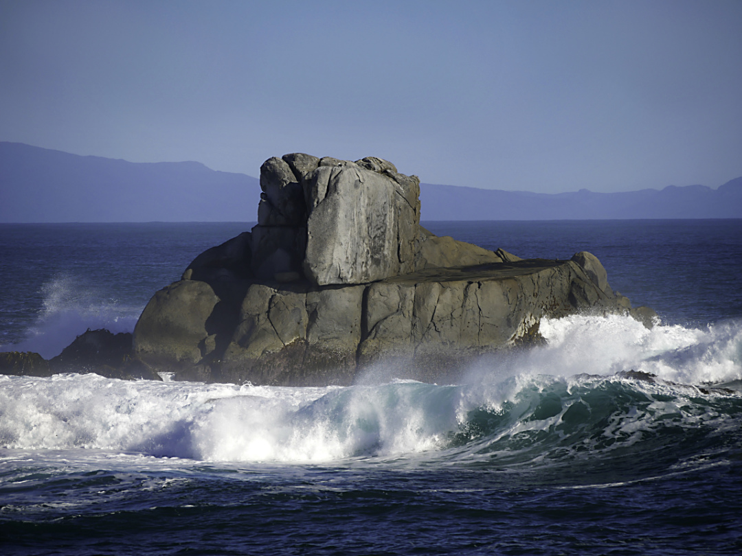
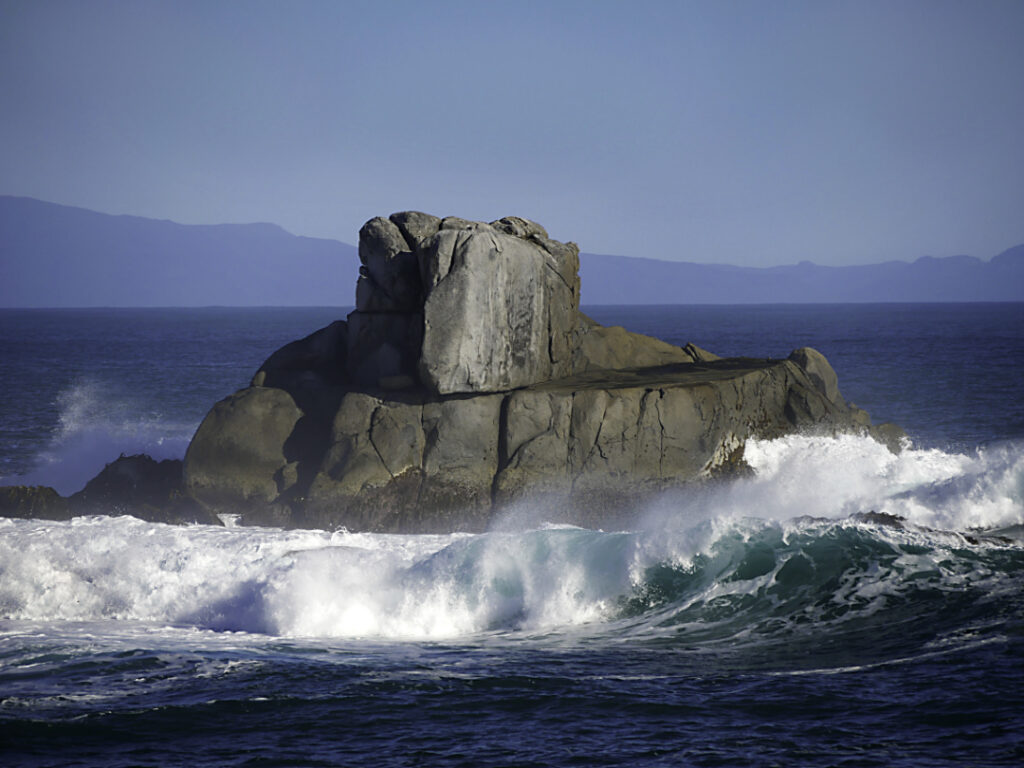
Cosy Nook Beach Southland New Zealand.

Cosy Nook is on the coastal road between Invercargill and Tuatapere, close to Colac Bay, Gemstone Beach and Monkey Island. And part of part of Te Waewae Bay

It is a picturesque rocky cove sheltering several fishing boats and holiday cribs and baches. It is an important cultural and historical Maori settlement site.

Pahi, as it was originally named after Ngai Tahu Chief Pahi, boasted one of the oldest and largest Maori villages in coastal Murihiku in the 1820s. Captain George Thomson, Harbourmaster of Bluff, named his property Cozy Neuk, after his homeland Scottish village. He was the first European settler.

Native Birds of New Zealand

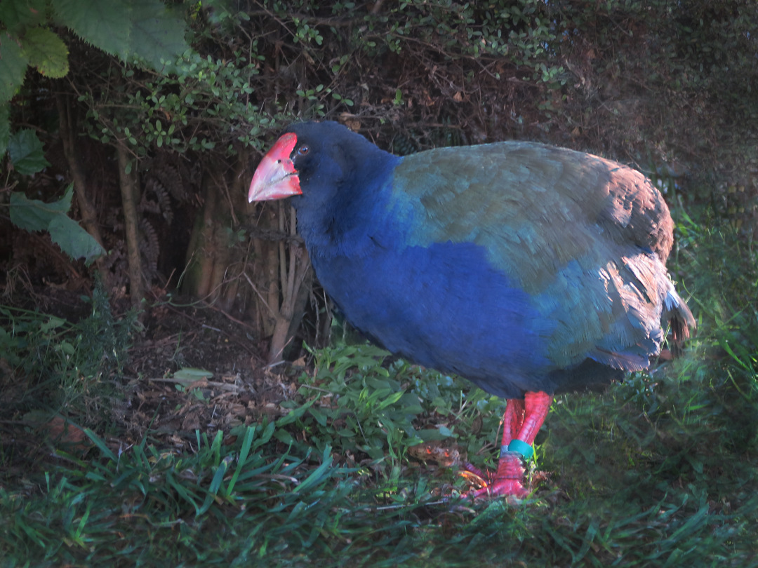
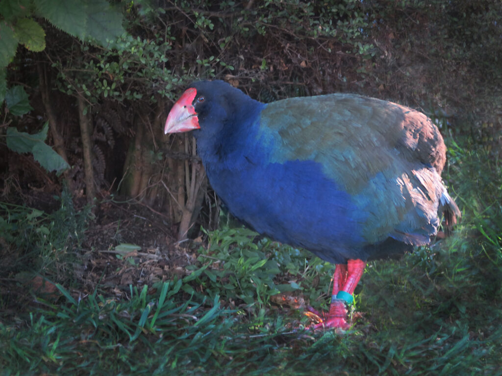
takahe

Takahē or notornis – a bird of the rail family, indigenous to New Zealand.

Thought to be extinct, due to hunting by Māori. It was not named or described by Europeans until 1847, and then only from fossil bones.

Lake Orbell, Fiordland National Park, New Zealand

It was then rediscovered by Dr G. Orbell in 1948. In the Murchison Mountains, Fiordland National Park.

Managed since then the only remaining population in the world has grown.

There have been ups and downs. Currently the population by the lake number more than 200. Translocation has also been happening to other safe areas in New Zealand. It is still at risk, but on a steady path to larger numbers.

Wanaka, Hawea and Upper Clutha Trees

that wanaka tree

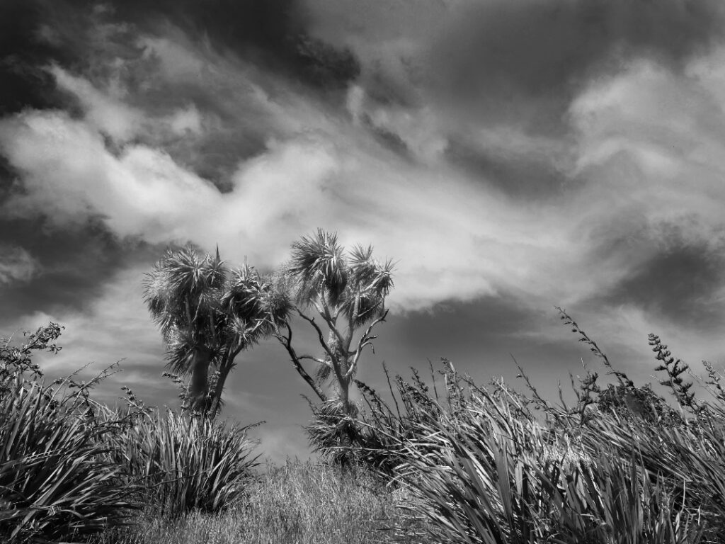
Cabbage trees/tī kōuka and Harakeke/flax

New Zealand landscape. They will often reach a height of 12-20 metres. Very popular in Britain, Europe, and the U.S. In the former they’re known as Torquay palm.

The flowers are very scented in early summer, and turn into bluish-white berries that birds love to eat. It is very fire-resistant. Māori used cabbage trees as a food, fibre and medicine. The leaves were woven into baskets, sandals, rope, rain capes and other items and were also made into tea to cure diarrhoea and dysentery. Lastly they were also planted to mark trails, boundaries, urupā (cemeteries) and births, since they are generally long-lived.

There are two identified species of flax in New Zealand – common flax (harakeke) and mountain flax (wharariki). (Harakeke is really a lily).They are unique to New Zealand and is one of our most ancient plant species. It grows up to 3 metres and its flower stalks can reach up to 4 metres. Tui, bellbirds/ korimako, saddlebacks/tīeke, short tailed bats/pekapeka, geckos and several types of insects enjoy nectar from the flax flower.

Flax was a valuable resource to Europeans during the 19th century because of its strength. It was New Zealand’s biggest export by far until wool and frozen mutton took over. Today, it is used in soaps, hand creams, shampoos and a range of other cosmetics. Flaxseed oil can also be found for sale.

Flax was the most important fibre plant to Māori in New Zealand. Each pā or marae typically had a ‘pā harakeke’, or flax plantation. Different varieties were specially grown for their strength, softness, colour and fibre content.

The uses of the flax fibre were numerous and varied. Weaving is now very common. Clothing, mats, plates, baskets, ropes, bird snares, lashings, fishing lines and nets were all made from flax leaves. Floats or rafts were made out of bundles of dried flower stalks. The abundant nectar from flax flowers was used to sweeten food and beverages. Flax also had many medicinal uses.

The outer layer represented the grandparents, whereas the inner layer of new shoots – the child – remained and were to be protected by the next inner layer of leaves, the parents.
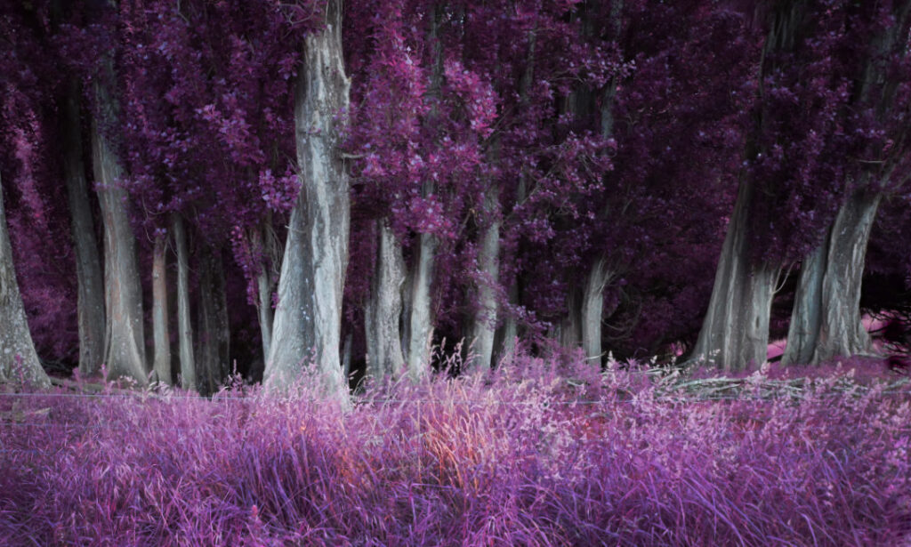
Infrared of poplar trees

Poplars were first grown in New Zealand in the 1830s. Although ornamental in Central Otago they were primarily planted upwind in rather mundane straight lines to provide shelter for stock and houses. Especially from wind, but also to provide shelter from the intense summer sun .
This is probably the Lombardy poplar, given its column-like form. And was also often planted to mark boundaries and river fords as they could be seen from a distance. This planting is very grouped thus supplying quite a magical feel, in the gathering dusk of a summer evening.

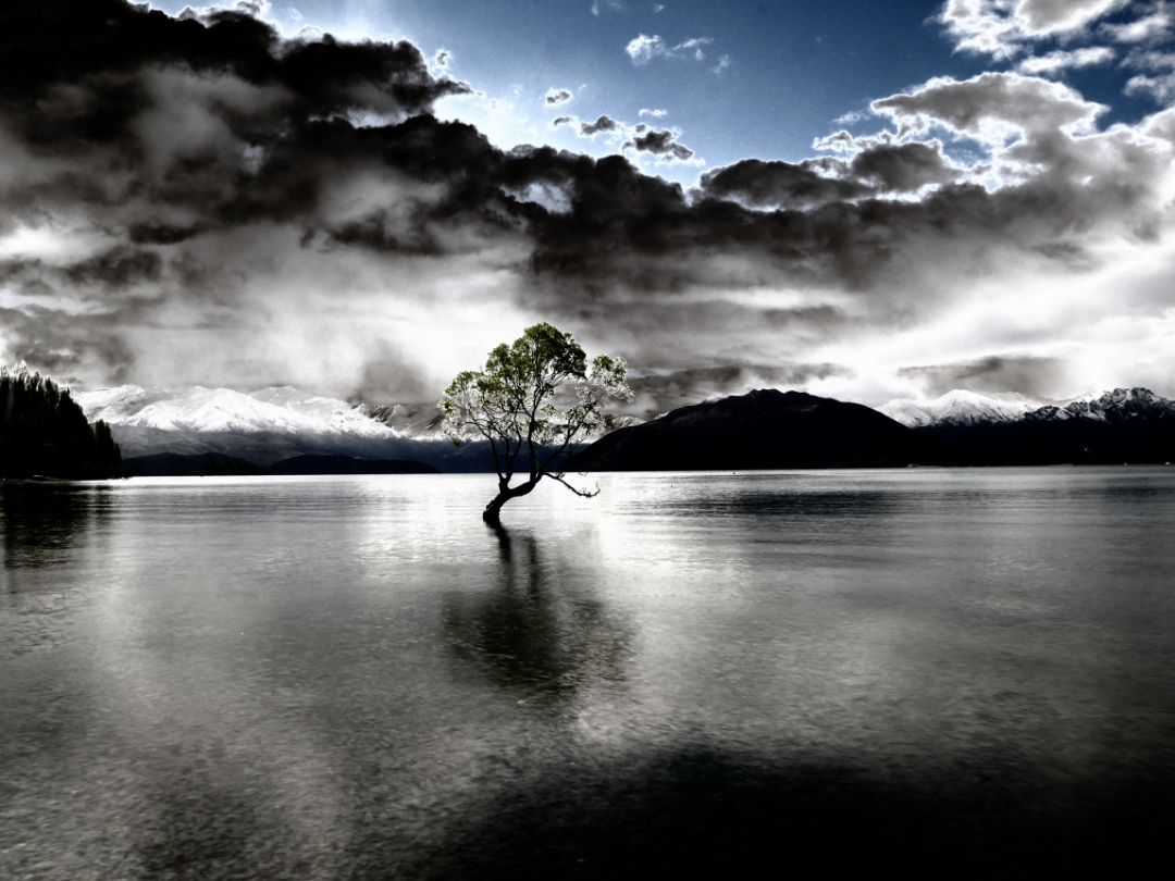
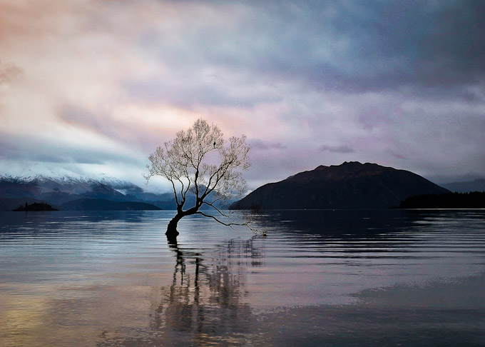
That Wanaka Tree!

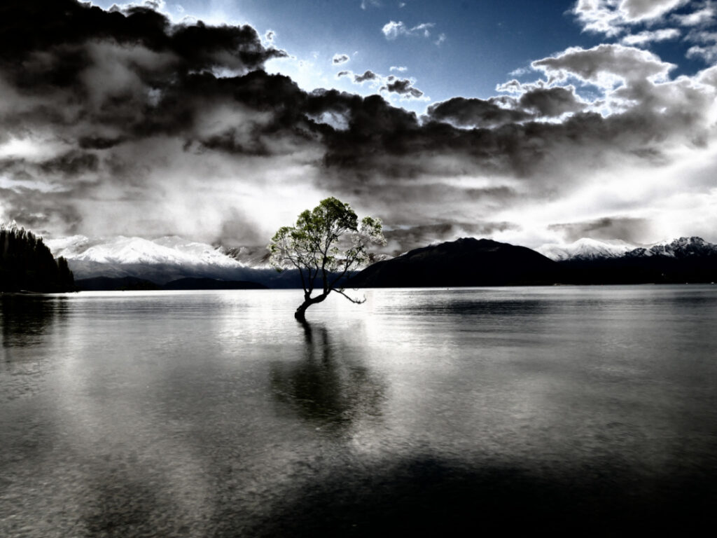
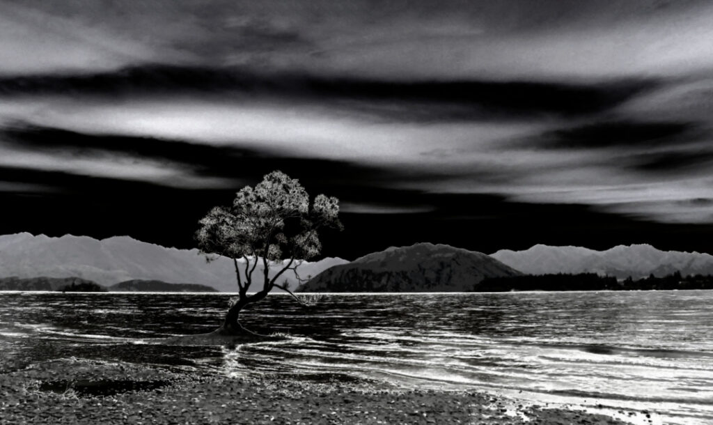
A willow that was once a fence post. Now a “must see/photograph” for every tourist that comes to New Zealand.

A year of photography – 2019

Autumn at Glendhu Bay, Wanaka, New Zealand

There were various reasons for lots of local NZ travel in 2019, and fortunately I had the time often to not rush trips across the likes of Central Otago, e.g. Wanaka to Dunedin and return.

The images below are very roughly in chronological order, but being lots of them I’ve uploaded with speed in mind – life in 2020 is nice and full, and sitting at a keyboard is best kept to a minimum. Enjoy!

Silver Peaks, Dunedin
Silver Peaks range behind Dunedin on a day tramp in the damp, which helps engender a sense of mystery
Sheep on a Southland Road
On various days I’d help an old friend Wayne survey road upgrades in Southland, and so I got to see lots more of rural NZ than I knew existed, as usually the surfaces that needed to be marked out for upgrades were on anything but main roads.

These were long days with lots of water needed to keep hydrated.
Cook Strait looking back at the South Island
An evening on Cook Strait heading to Wellington on a roadie with an old and dear friend. This is looking back at the South Island
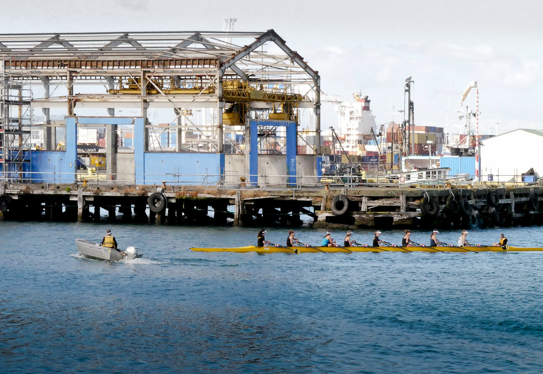
Rowing on Wellington harbour
Wellington harbour
A relocated railway station in Central Otago now serving as a musterer's farming hut
A relocated railway station in Central Otago now serving as a musterer’s farming hut. Bordering the Oteake Conservation Area
Lan Yuan, Dunedin Chinese Garden
Lan Yuan, Dunedin Chinese Garden, in Dunedin. The garden commemorates the contribution of Chinese people to the history and culture of the city.

I met my cousin and husband down there so it was a delightful family outing looking at some strong history, with them both and my son
On the Rock and Pillar Range looking west
A side trip and camp out in my Land Cruiser camper, to altitude on the Rock and Pillar Range – the last of the block mountains between the Cardrona Valley, Wanaka and Dunedin. A very windy area.
Camping on the Rock and Pillar Range
Luxury with a cold beer out of the vehicle fridge, on the Rock and Pillar Range watching the sunset.

It got very windy in the wee hours though, and despite turning the truck around so it faced into the wind, to get a good sleep I drove a few km and parked up in a gully out of it, and woke to heavy rain.
And when needing a bathroom
old gold diggings on the Hawkdun Range, Oteake Conservation Area
Another evening camp out – this time at old gold diggings on the Hawkdun Range, Oteake Conservation Area.

I’d climbed up to here in very cold winds to get some photos, and then descended in the dark back to my welcome little mountain hut on wheels, aka Cafe Toyota.

Mt Aspiring in the background
Lower Rock and Pillar Range
Lower Rock and Pillar Range – Butterfly country once experienced and now imagined
awning on Land Cruiser. camper
My new awning on the camper – should have made one years ago for the simple reason that in rain the end of the bed would get wet.

Note no poles and my 100 year old industrial sewing machine got an airing
Sunset from the Hawkduns
Sunset from the Hawkduns.

Just myself, my three legged tripod and some nearby cattle to enjoy a perfect evening while on my way to Dunedin
The now empty Cadburys chocolate factory in Dunedin
The now empty Cadburys chocolate factory in Dunedin.

Site of a new hospital coming up.
Classic car in Wanaka
During the year I finished off a new tire related web site in Wanaka, and so was delighted one day to spot this beauty outside the new building
Frog at Glendhu Bay, Wanaka
Best image from a sunset photoshoot at Glendhu Bay, Wanaka
University of Otago clock tower
University of Otago where my son has studied for several years. A truly beautiful campus
Christchurch cathedral statue
I had to visit Christchurch a few times during the year and since I’d never seen the city post earthquake I predictably ended up visiting the Cathedral ruins in the Square
Christchurch public toilets near the Square at night
Christchurch Art Gallery
Christchurch Public Art Gallery
Historic gold reserve cottage at Macraes Otago
Historic gold reserve at Macraes Otago
Luna Light Festival fairies - midwinter, Queenstown
Luna Light Festival fairies – midwinter, Queenstown
The smog of winter in the Manuherikia River Valley, Central Otago
The smog of winter in the Manuherikia River Valley, Central Otago
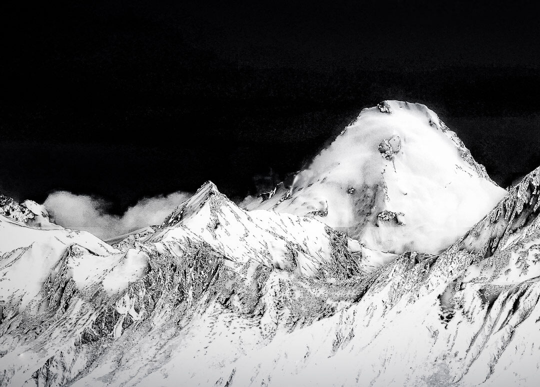
Mt Tutoko, Fiordland National Park
Mt Tutoko, Fiordland National Park – photo from the jet service into Queenstown from CHC
Wintery tarn and Hawkdun Mountains, Oteake Conservation Park
Wintery tarn and Hawkdun Mountains, Oteake Conservation Park, on the edge of the Maniototo
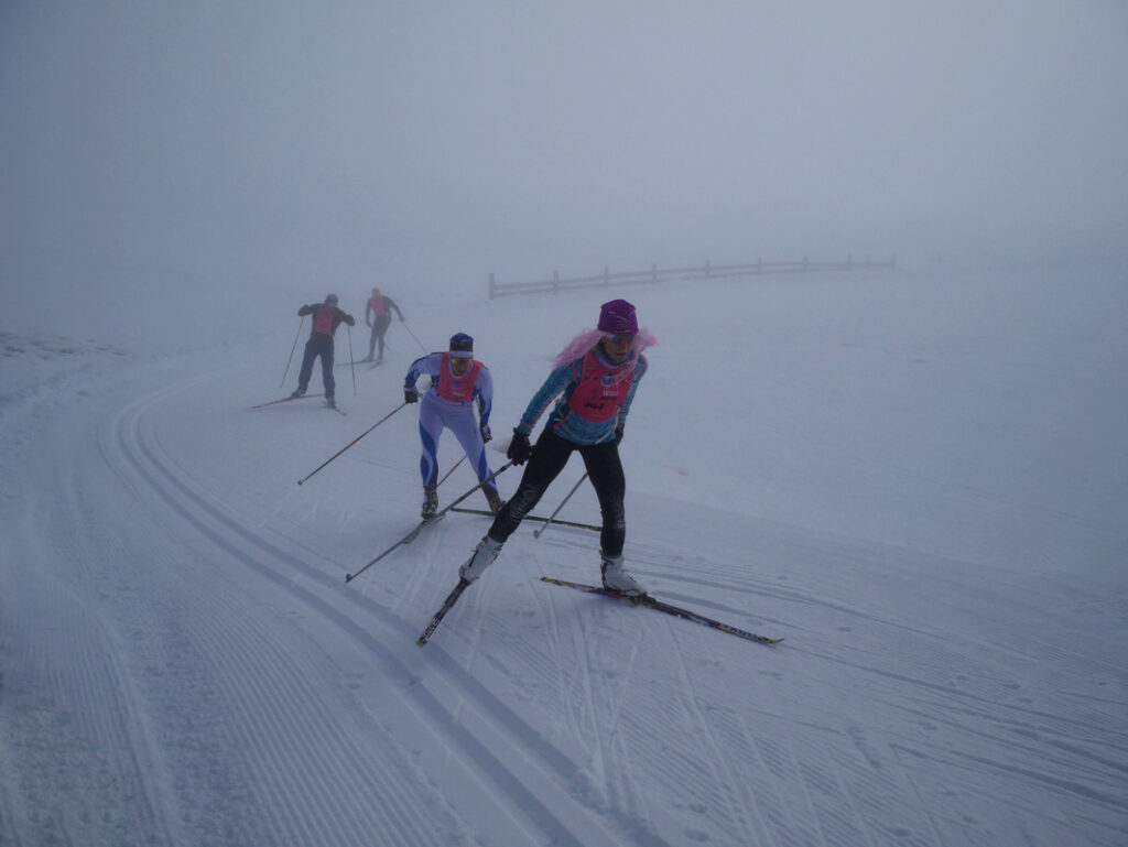
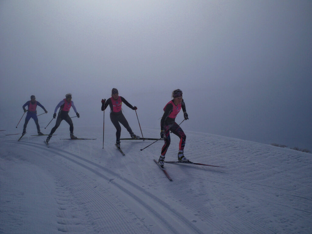
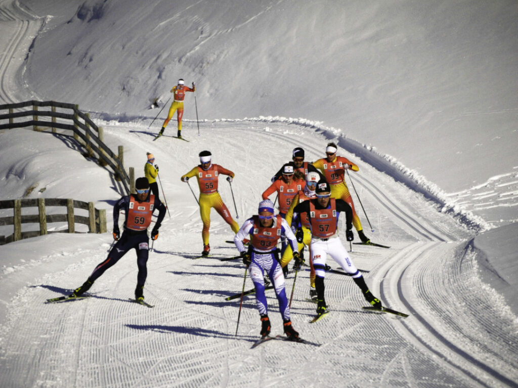
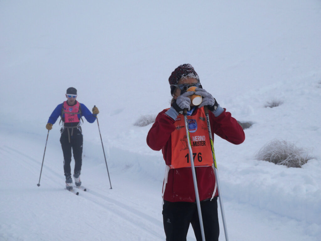
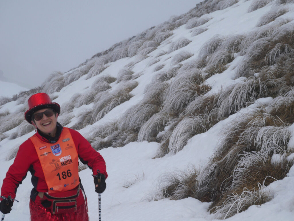
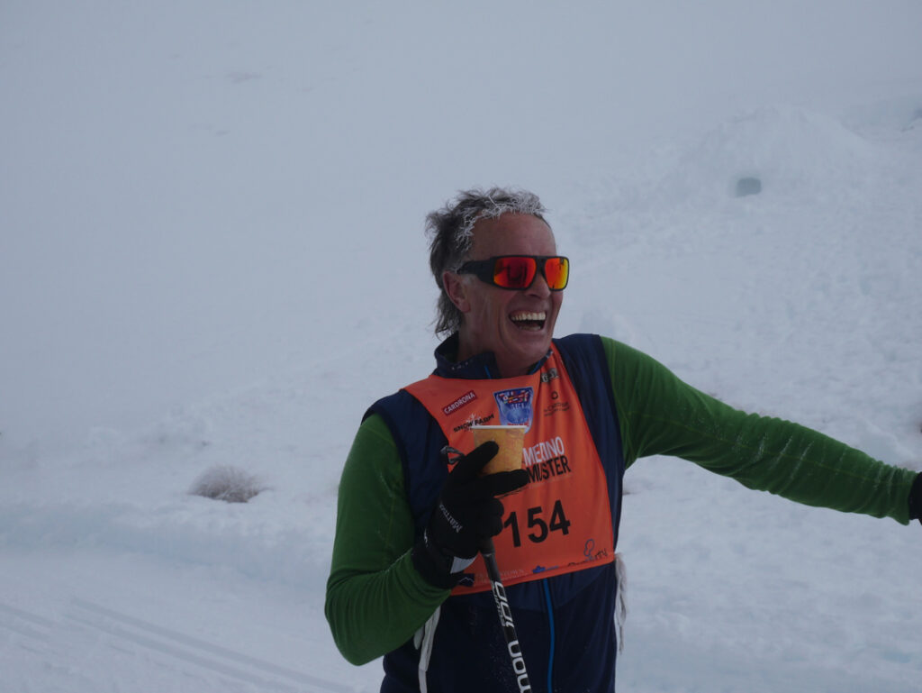
World Loppet Merino Muster race 2019
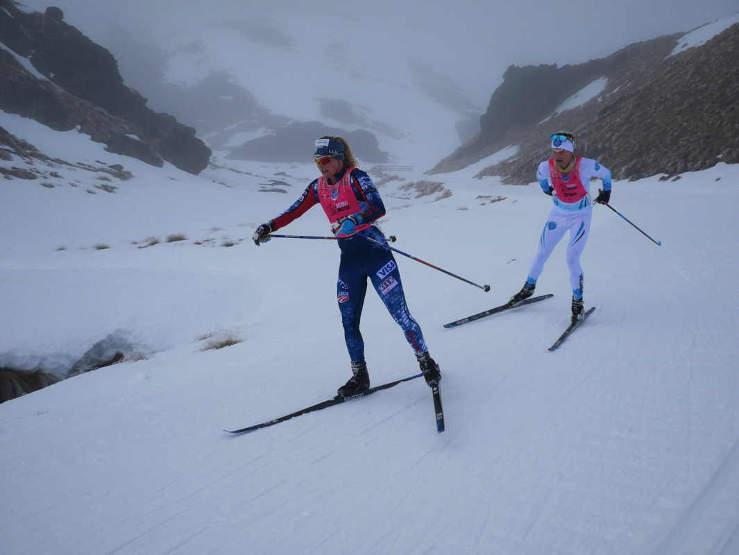
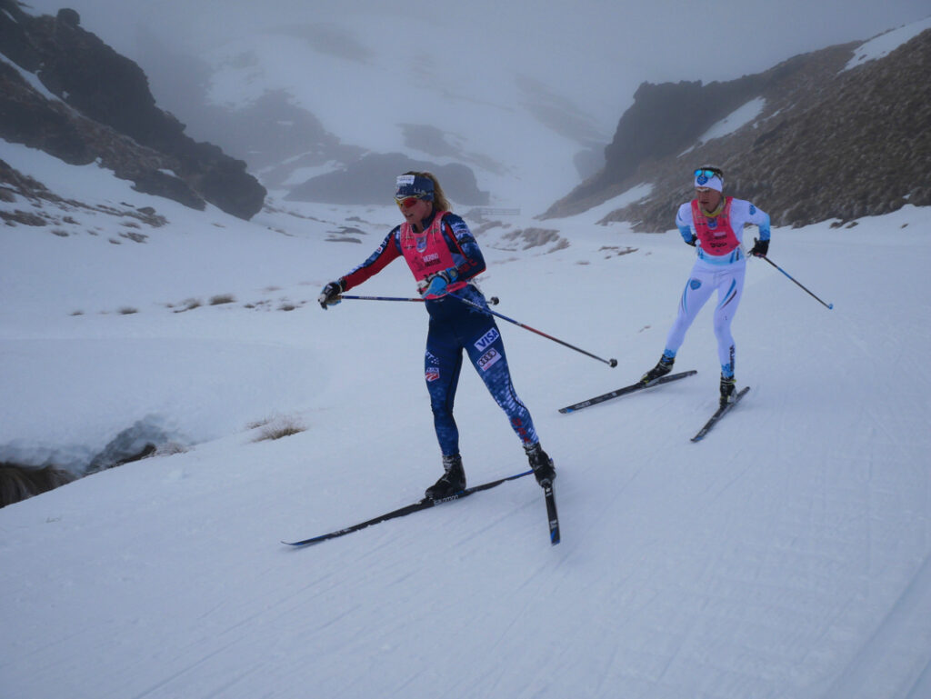
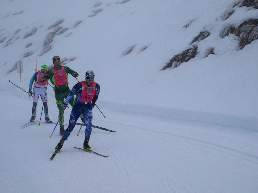
The front runners at the annual World Loppet Merino Muster race, the Snow Farm, Cardrona Valley, Wanaka.

These world class athletes on cross country skis are well into their 42 km race, and typically average speeds of up to 22kph over that distance
native kaka at Orokonui Sanctuary near Dunedin
During the year I was appointed onto the Otago Conservation Board where we represent the public and advise the Dept of Conservation on select matters and strategic decision making.

As such I get to do field trips, and here is a native kaka at Orokonui Sanctuary near Dunedin.
Young lovers in the sunset, near the mouth of the Catlins River, Coastal Otago
My son and girlfriend near the mouth of the Catlins River, Coastal Otago.

I had a large print done for him of this image as a Christmas present, and it was well received.
Nevis Valley gold dredge pond tree
Yet another visit to a certain tree in the Nevis Valley – it’s my photo nemesis I think: satisfaction eludes me capturing the cold emotion of this old historic gold dredging pond, but I’m getting closer.

This visit represented the coldest I’d been in 2019.
Nevis Valley gold miners cottage
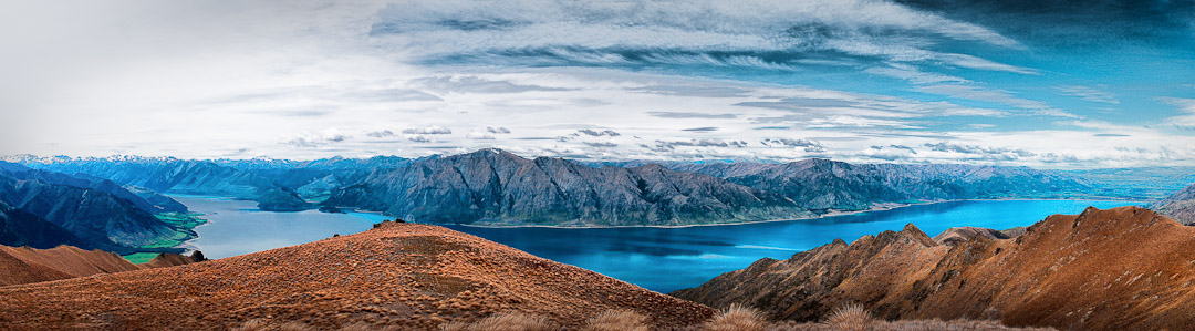
Lake Hawea from a day trip up Isthmus Peak
Otago Conservation Board field trip Matukituki Valley 2019
Otago Conservation Board field trip Matukituki Valley – me on the right
Proposed conservation land on Glenaray Station
Proposed conservation land on Glenaray Station Otago/Southland. An inspection visit by helicopter pre submission.

One huge area – one hour flying only covered a fifth of the farm.
Lake Wanaka flood Dec 2019.

Last event 1999, and thankfully this one stopped short of the shops, just!
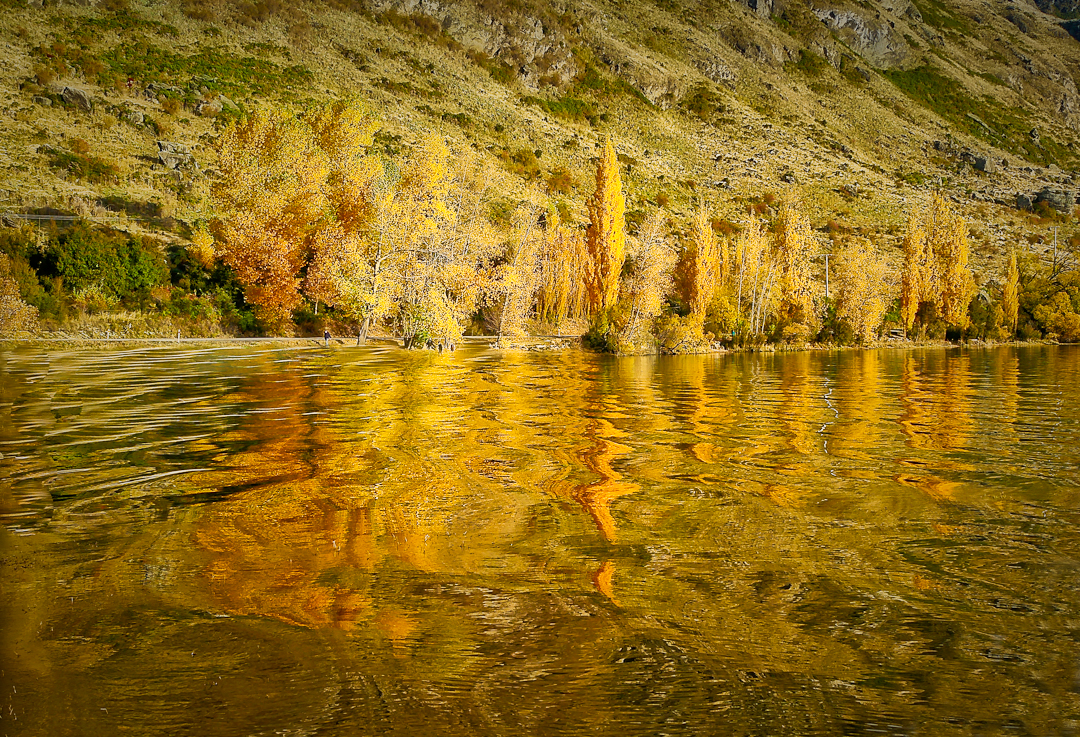
Glendhu Bay autumn ripples
My favourite capture for the year – there I was all set up at Glendhu Bay for a more sedate shot and a jet ski came by causing some ripples I did not think I’d benefit from, however they made for something much better.
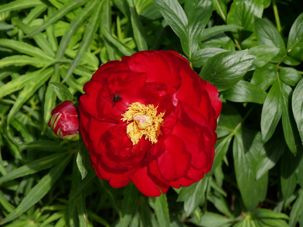
Dunedin Gardens rose
Wishing you all the very best for you and yours for 2020 – may you always have time to smell the roses

The Dunedin Botanic Garden

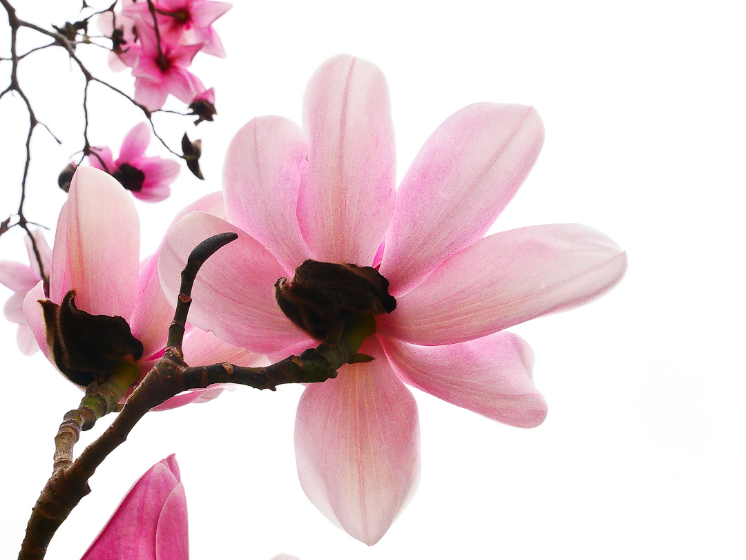
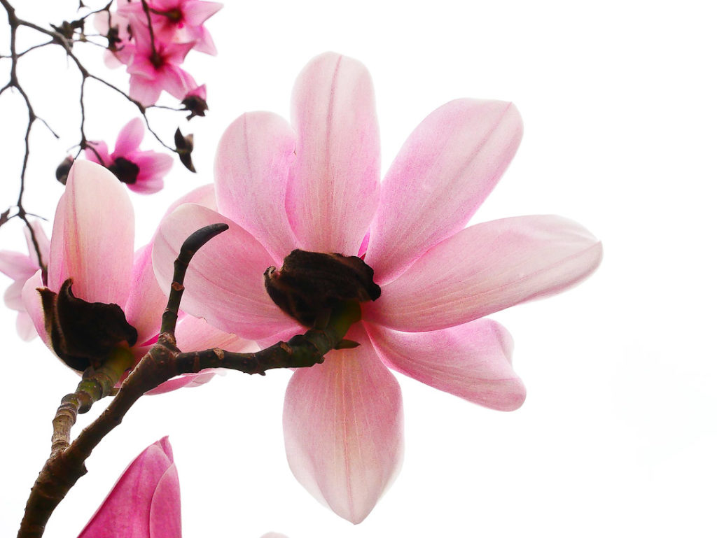
Magnolia in the upper Dunedin Botanic Gardens

I often go to Dunedin for many varied reasons, and one of the delights of every trip is a visit or two to the oldest botanical garden in New Zealand, which was established in 1863.

There are two parts of the Dunedin Botanic Garden, linked indiscernibly, known as the upper gardens and the lower gardens which merge nicely with the University of Otago campus.  View Google Map

The initial garden was established on a site now occupied by the University but due to extensive flooding in 1868, the gardens were moved to their current site in 1869.

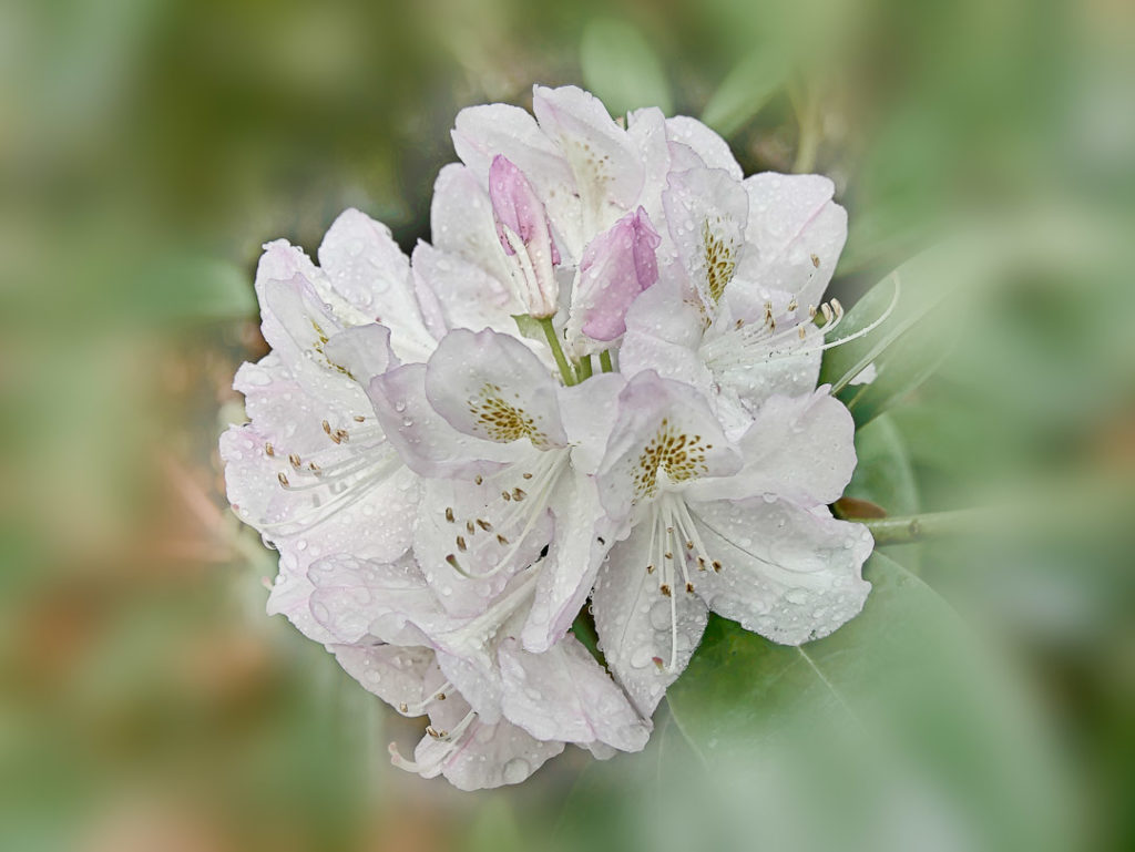
White rhododendron at the Dunedin Botanic Garden
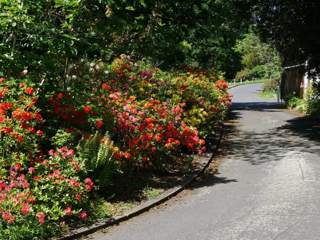
A rhododendron typical of the more naturalistic upper garden, where there is an arboretum, rhododendron dell, native plant and geographic collections.
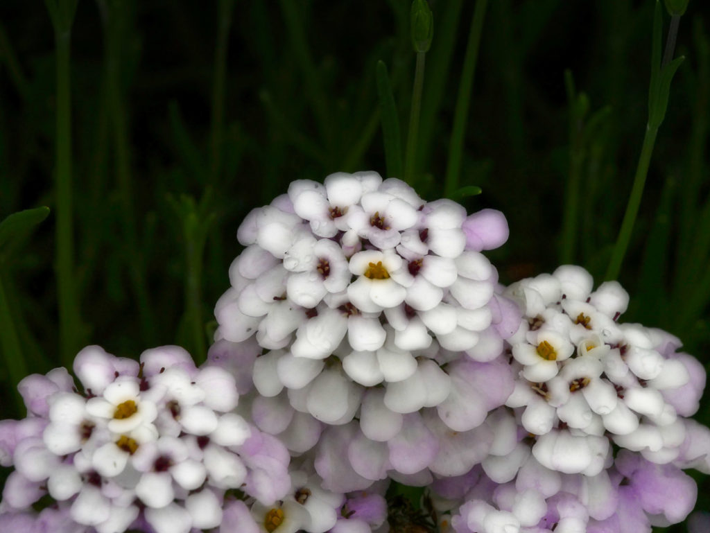
Dunedin Botanic Gardens
There are over 6,800 plant species
Dunedin Botanic Gardens
It covers 28 hectares of hillside and flat land to the north of the city
Dunedin Botanic Gardens
Dunedin Botanic Garden
The Garden is a preferred location for serious botanical studies as it is home to a significant number of plant collections
Dunedin Botanic Garden
In July 2010, the Dunedin Botanic Garden was awarded a rank of “Garden of International Significance” by the New Zealand Gardens Trust thus becoming one of only five gardens nationwide to be bestowed with this honour.
Dunedin Botanic Garden
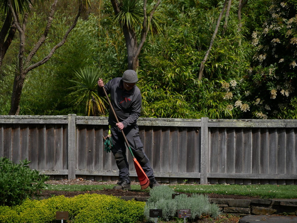
Garden worker at Dunedin Botanic Garden
The resources dedicated to the Gardens are significant, yet unlike many similar gardens in large cities overseas such as in Vancouver, entry to the Dunedin Botanic Gardens is free
Dunedin Botanic Garden
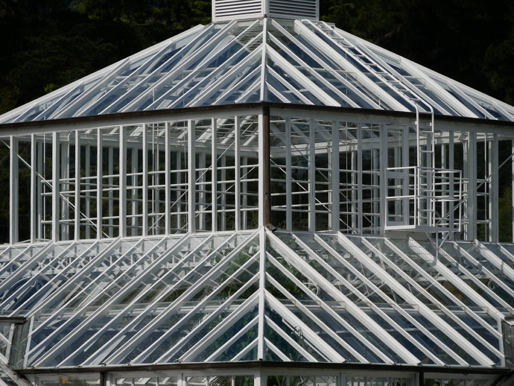
Dunedin Botanic Garden, the roof of the Winter Garden Glasshouse
The roof of the Winter Garden Glasshouse – open 10am to 4pm, with nearby alpine house and toilets 9am to 4pm, and the cafe 9.30am to 4.30pm
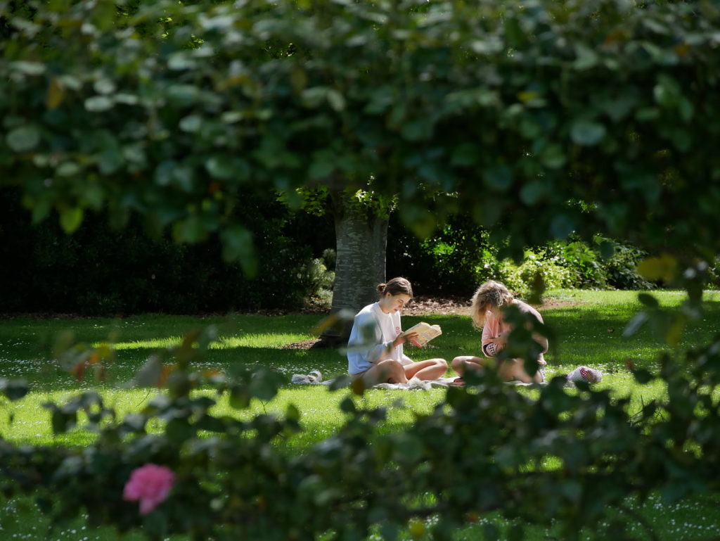
Students studying in the Dunedin Botanic Gardens
Each University year Dunedin city hosts 40,000 plus students and with the Gardens in close proximity scenes like this are common place. In short they offer an immense and peaceful place for relaxation and study, while also providing pathways to North Dunedin where there are lots of student accomodation flats
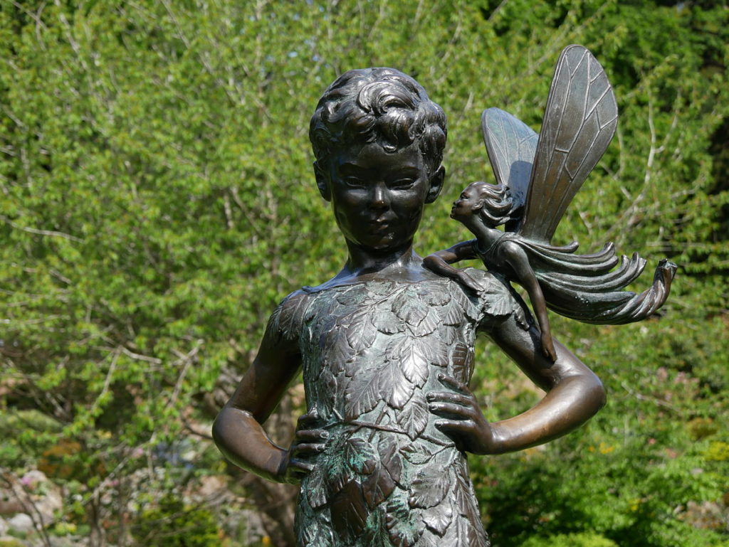
Dunedin Botanic Garden - Peter Pan statue
Peter Pan and is that Wendy whispering in his ear?
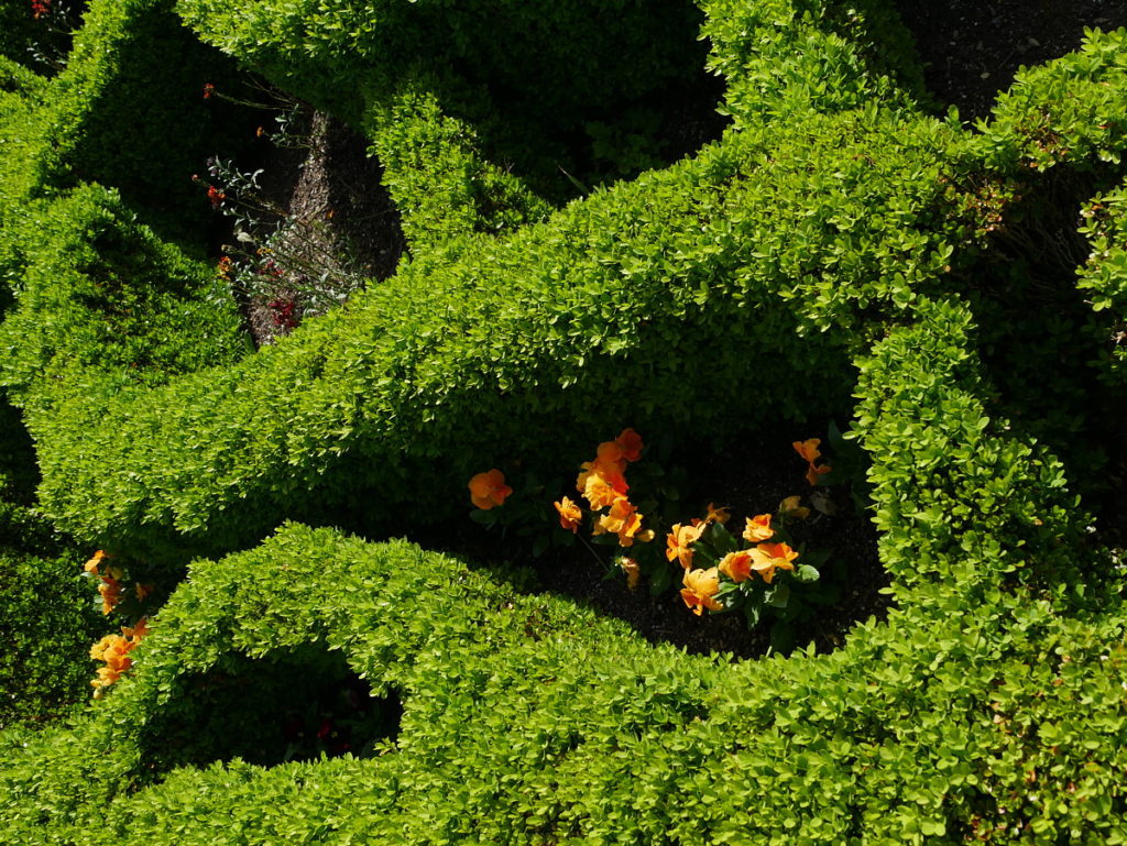
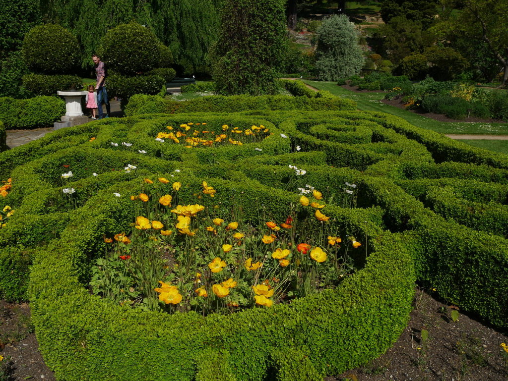
Dunedin Botanic Garden decorative hedges
Dunedin Botanic Garden
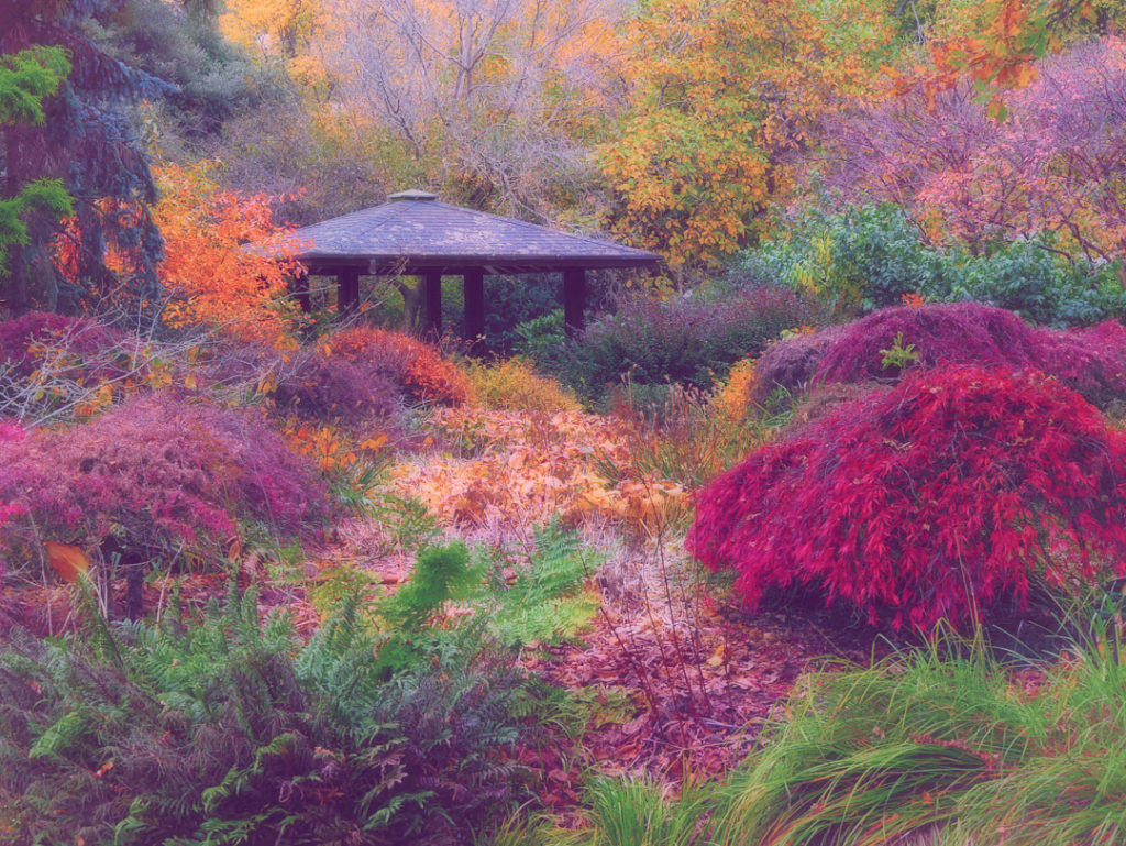
Dunedin Botanic Garden -Japanese shelter
A feature of the flat lower Garden
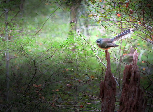
Fantails ofter frequent the Dunedin Botanic Gardens
Fantails often frequent the Dunedin Botanic Gardens
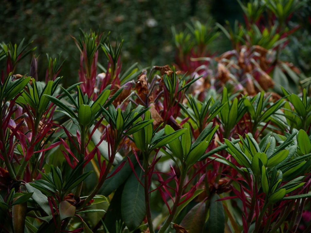
South African section of the upper  Dunedin Botanic Gardens
South African section of the upper Gardens
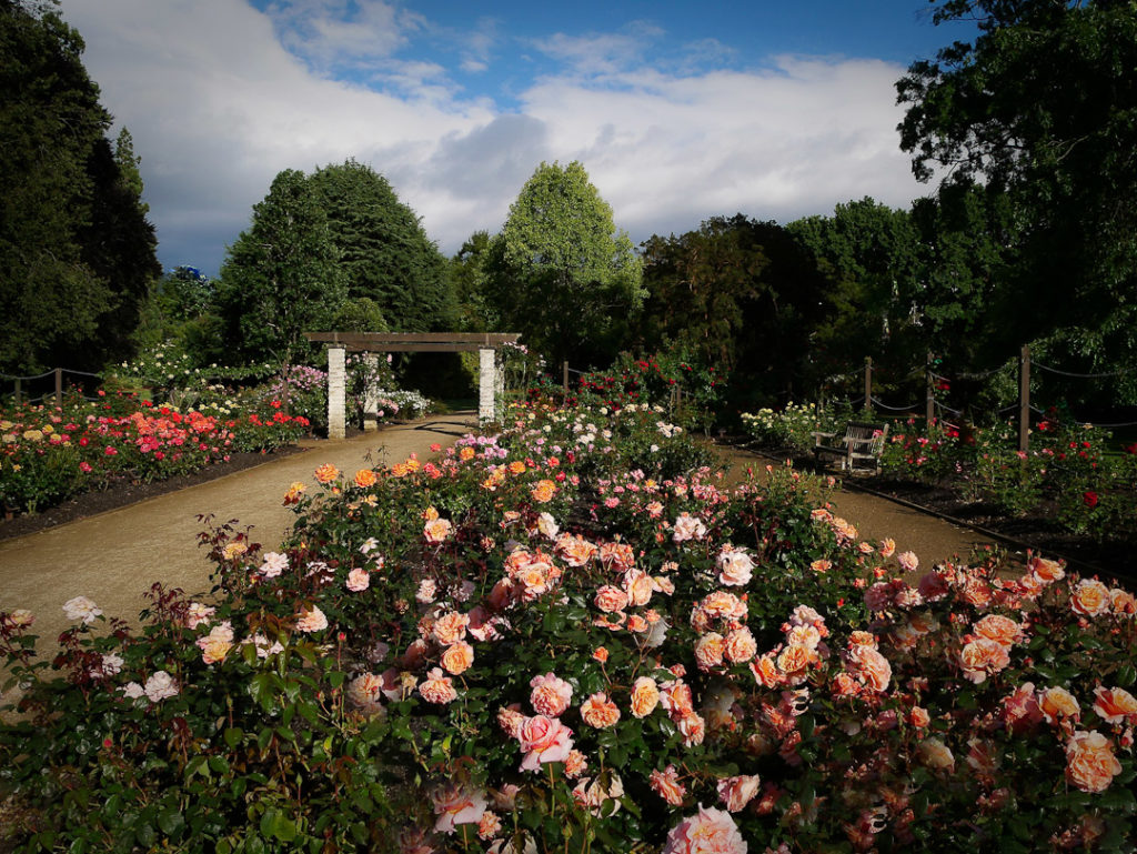
The formal rose garden and camellia collection in the lower Dunedin Botanic Gardens
The formal rose garden and camellia collection in the lower Gardens
Magnolia in the upper Dunedin Botanic Gardens
Magnolia in the upper Gardens

Some thoughts on how to enhance sustainability in photography

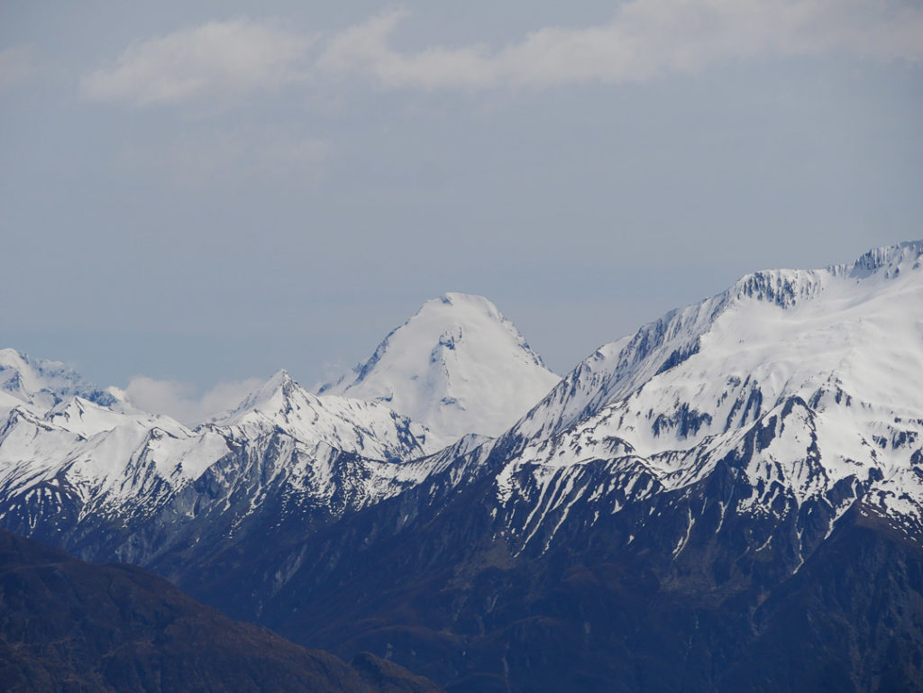
Mount Aeolus from Isthmus Peak track

One of the goals of Photo Quest NZ is draw attention to our unique New Zealand landscape in such a way as to do something tangible towards not only protecting it, but ensuring people grasp the need for habitat restoration for our native species.

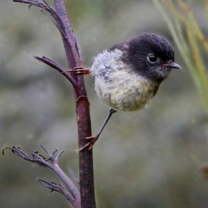
NZ tomtit
NZ tomtit

Along the way though we leave footprints – not so much in the way of the obvious nasty chemicals used to make images pre digital, but in more subtle and insidious ways such as the need for electronics (with planned obsolescence, not to mention packaging), batteries and data storage.


With these thoughts in mind, and already being off the grid (all Photo Quest studio work is done via solar power) with equipment chosen for it’s potential longevity (can you believe a ten year old iPhone) thoughts recently have gravitated towards travel – the simple act of getting to remote locations and back again.

Duffers Saddle in the snow - Central Otago
At least I have accomodation with me

It’s been a habit in the past to go to a new locations, take a few images and then retreat back to the office where they’re evaluated pending another trip to said location. The thought being to be there for sunsets and sunrises, or a snow storm or two.


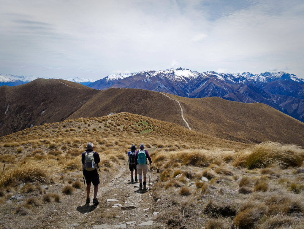
However recently good friends invited me to have a day trip up Isthmus Peak – a viewpoint popular with young back packers, which gives great panorama views of both Lakes Wanaka and Hawea.

View from Isthmus Peak track
View from the lower section of the Isthmus Peak track
Mts Castor and Pollux from near the top of Isthmus Peak
Lake Hawea on the left, Wanaka on the right,  from near the top of Isthmus Peak
Lake Hawea on the left, Wanaka on the right, from near the top of Isthmus Peak
Lake Hawea on the left, Wanaka on the right
Near the top
Mount Aeolus from from Isthmus Peak
Looking across Lake Wanaka we could see the Wilken Valley peaks such as Mount Aeolus, but unfortunately the noon light did not make for a photo equal to the majesty of this view

On seeing the panoramas offered by this walk, it can come to mind to return for the golden hour after the sun has set, or better yet in this case, be there for dawn. Which actually means burning more fuel.

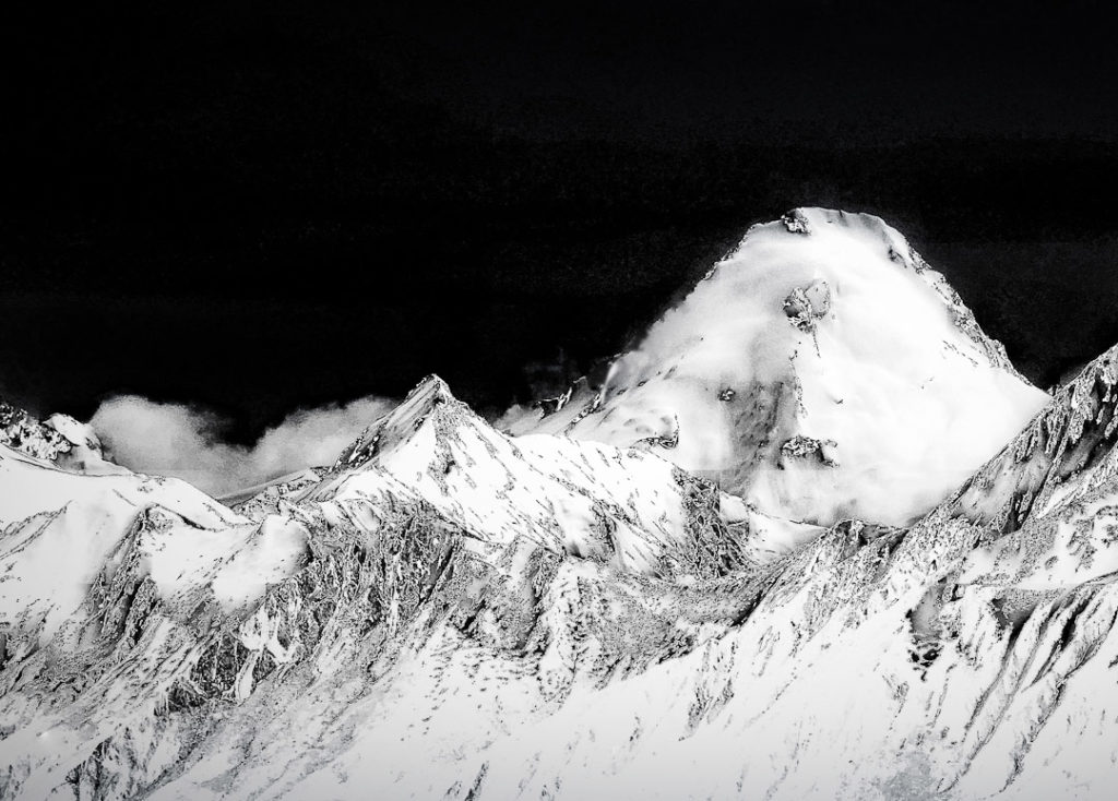
Mount Aeolus from Isthmus Peak track
So one way to improve the light photographically is to use post production software, thus getting a competent image on one visit which goes someway towards sustainable photography. The dull image immediately above was the basis for this one

None of these blog page images are listed in our shop. Nor are they likely to be. But if you’re interested in purchasing, please note which image and email Donald so I can advise you with a price and options.

The story of an astute kereru (NZ wood pigeon) and a myopic photographer

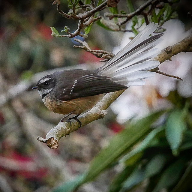
NZ Fantail - piwakawaka on a branch in Dunedin Botanical Gardens

Last week I came across the above fantail /piwakawaka and as my camera was in my hand, I started stalking him/her with my lens, knowing full-well, like we all do, that these sweeties move about almost too fast for us limited humans.

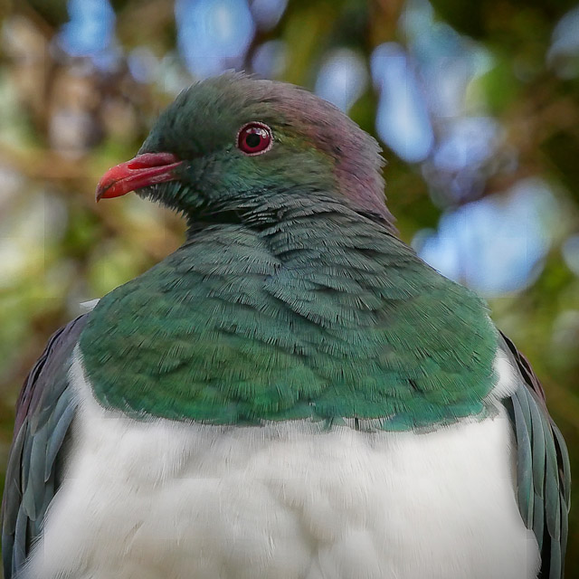
But I got a good enough shot, and then I had the oddest feeling I was not alone and was being watched, so I took half a breath and realised the kereru was less than a meter from my nose. 


The rest was history as they say, but look at the expression. It’s said these beautiful birds are dumb, but that was not what I saw

Portrait of a kereru (NZ wood pigeon)

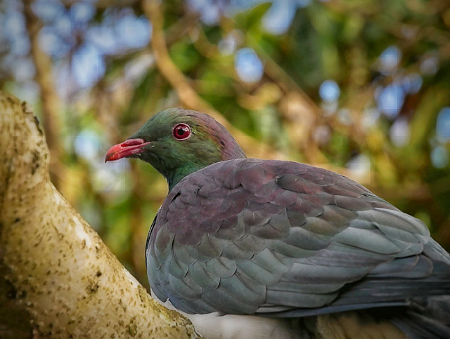
Eventually my kereru friend decided to turn away prior to departure, but could not resist looking back for sometime with an air of indecision, or maybe even reluctance…

Back view of a NZ kereru / wood pigeon at Dunedin Botanical Gardens

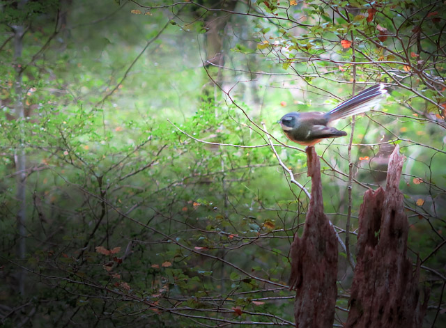
One of favourite piwakawaka photos taken in red beech forest in Mt Aspiring National Park

Piwakawaka / fantail in red beech forest in Mt Aspiring National Park

If you happen to be interested in purchasing an image please note which one and email Donald so he can process the various options, and advise you with a link when completed

That Wanaka Tree

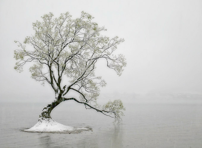
That Wanaka Tree in snow

I’ve been around this now famous tree in more ways than one, e.g. swimming, and simply took it for granted for a few decades.

In snow, flood, or times of drought this tree that used to be a fence post earlier than 1939, endures with a determination to not just live, but to be a rock star of the Internet

However before it became famous a few of us had been there with cameras in sunshine and storm, simply because it was nice subject matter for landscape photographers.

But even then we had no idea how social media would change all that – now days getting an image of it with no people is the ultimate challenge.

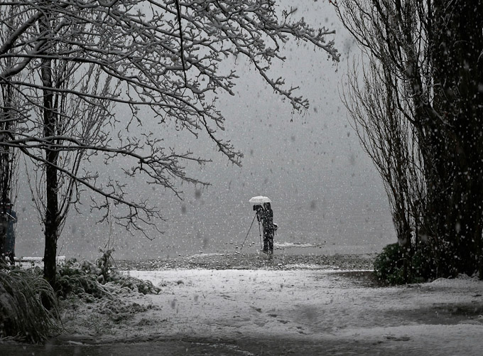
A Wanaka Tree photographer working in a  snow-storm under an umbrella

And so the photographers came! With tripods, umbrellas, children and iPhones!

That Wanaka Tree at sunset

And often the sun sets on a perfect day, which finds the lake levels either up or down or somewhere in between

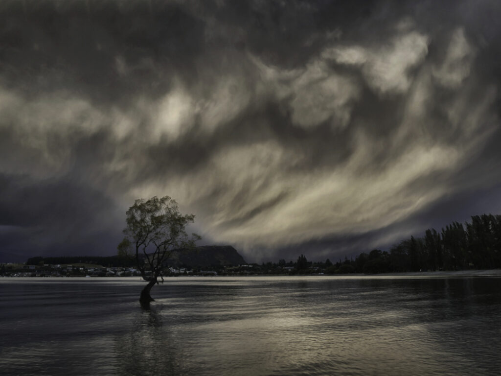
That Wanaka Tree bathing in unusual light

But what intrigues me of late is the tree seems to sense the attention it gets and becomes alive in another universe

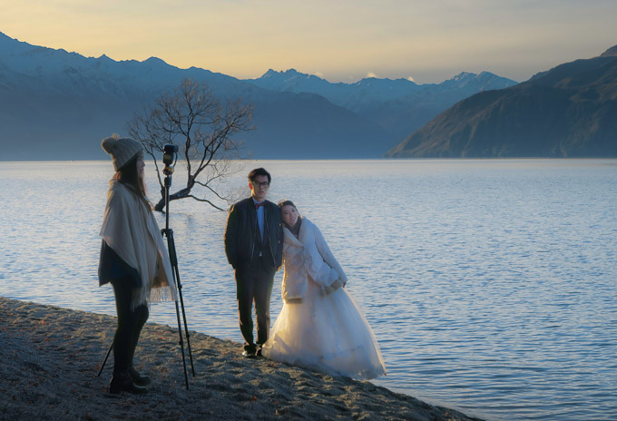
Wedding couple by the Wanaka Tree

Then again it is not always the centre of attention

If you happen to be interested in purchasing please note which image and email Donald so he can process the various options, and advise you with a link when completed

Exploring the Rock and Pillar Range in Central Otago

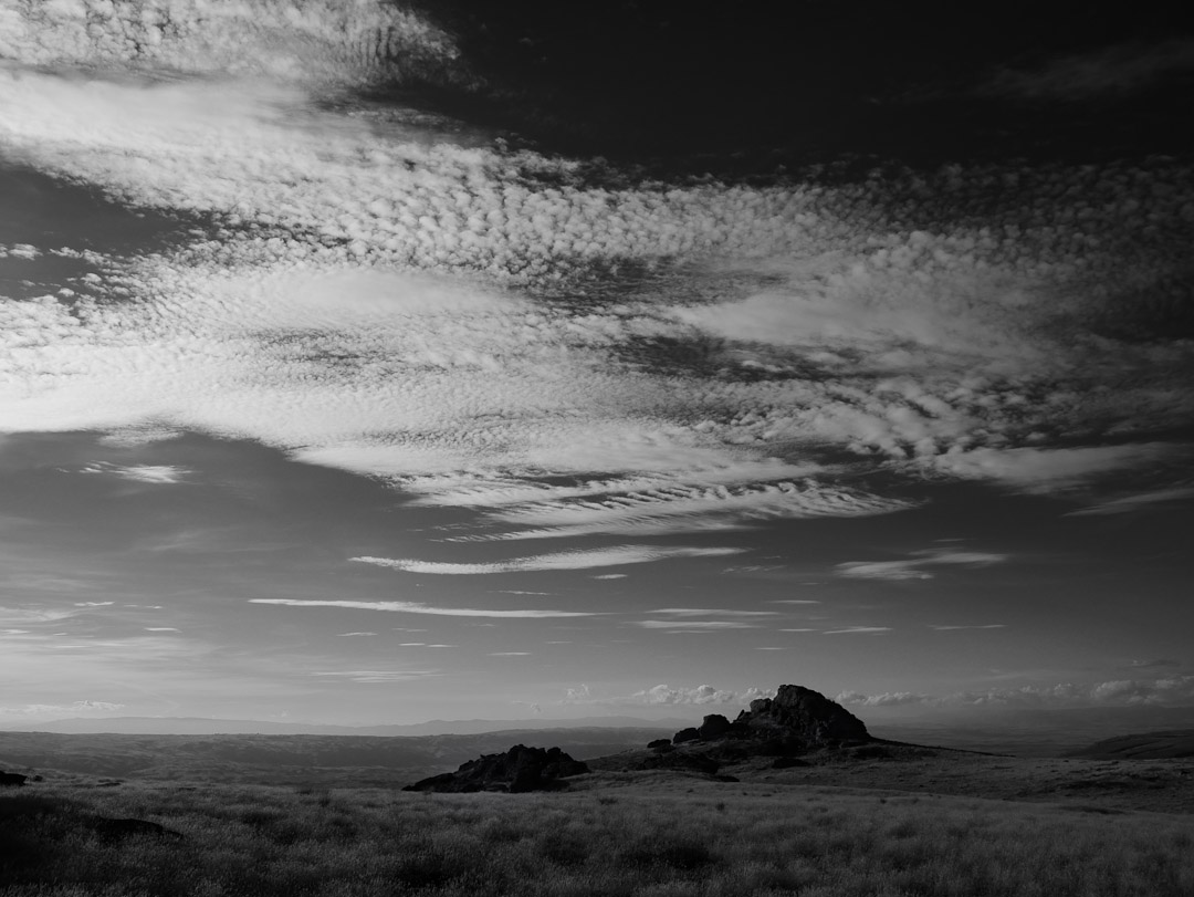
Rock and Pillar Range, Central Otago NZ

I’ve often wondered how this area got it’s name because to me it’s all about wind up on the tops, but then again I’ve not yet seen it’s full extent, especially the northern end around the historic [skiing] Big Hut area.

Recently though I’ve been poking my nose into the southern end, and it’s been enjoyable, despite being chased away by wind recently at about 3am – even after being parked into the gale the noise and rocking made sleep impossible, but that’s another story.

The ascent up from Styx Creek – I call this beautiful place Butterfly Rock…
Rock and Pillar Range, Central Otago NZ

This is another much larger tor higher up – a bit too high for butterflies
Rock and Pillar Range, Central Otago NZ

The view to the south…
Rock and Pillar Range, Central Otago NZ

The view to the north…
Rock and Pillar Range, Central Otago NZ

I used my 4wd Land Cruiser camper to get up aways to these high spots [google satellite map link], but on encountering a boggy patch and being alone I parked up and climbed on foot up to the left of this very large outcrop, then circled it and came down on the right. It was pretty chilly, so I “called it a day”, and descended, then spent sometime looking for a flat camping spot near where I’d parked, but everything was too steep, so I drove down to my favourite place…Tor, Rock and Pillar Range, Central Otago NZ

Rock and Pillar Range, Central Otago NZ

A well earned cold beer and a sunset…Camping, Rock and Pillar Range, Central Otago NZ

This used to be the Great Moss Swamp, but it was dammed for irrigation in the early 1980’s. Quite a tragedy by today’s reckoning, as it was the largest alpine wetland in the southern hemisphere. Now it’s called the Loganburn Reservoir…Rock and Pillar Range, Central Otago NZ

My favourite camping spot at 1006 m above worry level – I call this spot yogi butterfly rock. But don’t be fooled – this is where the wind can be wild and free…Rock and Pillar Range, Central Otago NZ

Dawn…Rock and Pillar Range, Central Otago NZ

I “found” this a bit by accident while exploring the reservoir’s dam – they’re very private and even sheltered, but you’d best hurry if it’s raining! The crib, or bach as they’re known here is for those prone to fishing for introduced brown trout. The question is posed though: Ladies, gents and ?  Toilets, Rock and Pillar Range, Central Otago NZ

The rocks in the area were used as fence posts in the early days…Fence Post, Rock and Pillar Range, Central Otago NZ

This photo was made on my last trip 2-3 weeks ago. The evening started out quite nice, but the ominous clouds heralded some very strong winds, and arrived at 3am, forcing me to move to a more sheltered location 7 km away…Rock and Pillar Range, Central Otago, NZ

Again from 2-3 weeks ago – the road heading north.. Many of the black and white photos above were made on the high point in the distance…

error: Content is protected !!