Central Otago’s Heritage

Vipers Bugloss on the roadside to Poolburn, Central Otago, New Zealand

To celebrate Central Otago’s incredible and diverse heritage, the heritage Central Otago organisation invited professional and amateur photographers to put Heritage in Focus. It, the Central Otago Heritage Trust has teamed up with Tourism Central Otago to tell the stories of our heritage through images.

How they defined “Heritage”:

“Heritage will mean different things to different people, so we’ve taken a broad view of what heritage means.  Your photo could focus on tangible things like historical buildings, trees, natural landscapes, streetscapes, signage or historical objects. Or you might have a more intangible interpretation of what Central Otago heritage means. This might include things like cultural heritage, family or social traditions, or other personal expressions of heritage. The creative boundaries are yours to define!

You may have already taken some great photos that have a focus on heritage. You can enter these photos into the competition, as long as they’ve been taken within the last three years.”

Submitting a maximum of five images not older than three years seemed a challenge at first, but in retrospect a blessing. If I’d been able to utilise a couple of decades worth the selection process would have involved sifting through several hundred.

The other aspect that took a little time was defining the actual physical boundaries of Central Otago. Their website map was small and a tad vague however it only took a quick email to ask if the likes of the Nevis Valley fell within the borders.

My personal sifting and selection process

I searched on keywords I’ve ascribed to folders/images, and also let the question settle into my subconscious. In the case of the latter a few days later I’d recall a trip and it’s images.

This got me to about one and a half doz. Some of which I emailed to friends to ask their idea of which I should consider. When done I then created thumbnails so each could be seen in the context of the whole.

By a process of subtraction the many were eventually whittled down to five. Along the way I made a new thumbnail file each time, and would randomise the order too. Eventually arriving at the below:

Clyne’s cottage in the lower Nevis, Central Otago, New Zealand
Clyne’s cottage originally constructed in the lower Nevis township by Clem Sutherland in 1898
  • [ ] Surrounded by golden grasses, rose hip bushes, native matagouri, and the occasional willow for shelter the cottage is a rustic relic in a landscape marked by the remnants of gold mining. What truly makes this image precious is its evolution – from a miner’s abode to a cherished holiday home, embodying the timeless Kiwiana style. This transformation mirrors Central Otago itself, adapting to the kinder summers while preserving its historic charm.

Historic cottage in snow at Hills Rd. At the junction of SH85 and Hills Rd. Central Otago, New Zealand
Historic cottage in snow at Hills Rd. At the junction of SH85 and Hills Rd.
  • [ ] This ageing structure, nestled near what was once a bullock track, harkens back to Central Otago’s early days when gold mining and farming forged the region’s identity. A testament to the rugged pioneers of the past. It now finds refuge amidst strategically planted trees, offering both shelter and firewood. While its weathered exterior whispers stories of a bygone era, it remains a practical asset on a modern farm. It’s a living relic that bridges the gap between history and utility in this corner of Central Otago.

Homestead campsite hut Oteake Conservation Park, Central Otago, New Zealand
Homestead campsite hut Oteake Conservation Park
  • [ ] Situated within the rugged expanse of Central Otago’s Oteake Conservation Park, the “Homestead Campsite” is more than its basic description implies. This enduring structure, ensconced by ancient, gnarled trees, embodies the essence of the region’s history. Probably originally erected for farming and perhaps rabbiters, this resilient building has been meticulously restored by DOC, retaining its rustic charm. Today, it stands as a haven for adventurers exploring the St Bathans and Hawkdun Ranges, offering shelter and a communal kitchen area, a living testament to the pioneering spirit that shaped Central Otago’s heritage.

Stewart Town cottage remains above Bannockburn on the walk to Stewart Town. Central Otago, New Zealand
Stewart Town cottage remains above Bannockburn on the walk to Stewart Town
  • [ ] These meager rock walls, now no taller than one’s waist, stand as the remnants of a humble miner’s refuge in the heart of Bannockburn. Their stark simplicity tells a poignant tale of the relentless pursuit of gold that once consumed this region. Behind them, the formidable vertical cliff, shaped by the ceaseless sluicing for precious metal, looms as a testament to the determination and bravery of those early miners. This barren landscape, devoid of sheltering trees, to me still epitomises the flavour of the day as the ruins, standing silent amidst the golden history, serve as poignant relics of a bygone era fraught with the ceaseless search for riches, ultimately limited by limited sources of water.

Two trees, snow and road lower Nevis valley, Central Otago, New Zealand
Two trees and road lower Nevis valley
  • [ ] In the, bleak snow-covered expanse of the lower Nevis Valley, two weathered willow trees stand as solitary sentinels. They bear silent witness to a time when the only passage through this unforgiving terrain was a rudimentary road, once traversed by bullock teams and later by hard tyre’d lorries laden with supplies for the tenacious miners. These supplies included massive loads of metal pipes and machinery, essential for the operation of the numerous gold dredges that once dominated the landscape. Here, in this stark, treeless realm, shelter is but a distant memory. What captivates me in this image is its stark, unadorned simplicity—a profound reminder of the relentless struggle for survival in a valley notorious for its heavy snowfall and brutal exposure. The very backbone of Central Otago’s heritage.
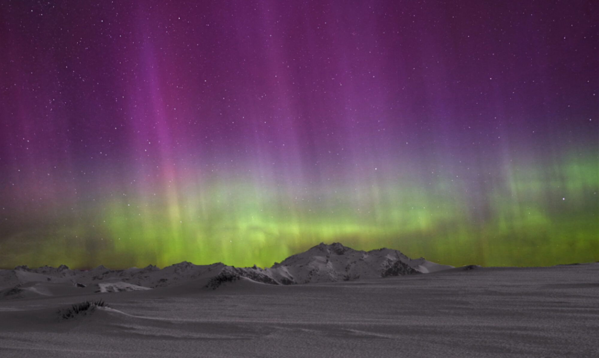
And now all that remains is to wait for the results, and maybe even some prize money 🙂

What is a stamper battery?

Stamper battery Otago Goldfields

A stamper battery [a row of rock crushing stampers] represents one of many techniques to separate gold from earth and rock. The ratio of gold to dirt/rock is what determines the financial viability of a gold mining operation. Machinery is inevitably employed and has a capital cost as well as a very high maintenance cost: water is usually involved too and steel machinery is not best lubricated by water especially as it has rock particles in suspension in a gold mining operation [I’ll leave it to the reader’s imagination to ponder the downstream effects on water and river quality!].

There are many areas or land in my homeland of Central Otago where what is called the peneplain is exposed by weathering, maybe aided by glaciers having stripped away substantial debris earlier, and also faulting crinkling the surface of the earth thus exposing edges where weathering can occur faster. Anyway you don’t have to rush off to the link below – just to know that rocks in keeping with a high percentage of gold are on the surface or can be mined/transported easily to a battery.

http://en.wikipedia.org/wiki/Peneplain

These rocks will typically be much heavier than our greywacke and shists, and they’ve once been part of layers of sediment cooked with pressure under extreme weight and silica has been forced all about. Quartz is also evident, along with “petrified wood”.

Stampers have to be constructed out of material tougher than silica impregnated rocks and crush same, then water is used to transport the crushings through a complicated refining process that leads to a water, gold and rock crushings mix [slurry].

Water was often also brought to the battery to power it, via races and fluming constructed with great effort out of creeks and around hill sides slowly loosing height to the site of the battery. The levels were calculated by using old gin bottles almost full of water [hence the phrase “spirit levels” perhaps].

When at the battery the water flowed onto a wheel thus supplying motion to a shaft on which a number of cams [all offset to ensure balance] would lift and then drop [stamp] very heavy cylinders of steel onto the rocks. The noise is awesome [some enthusiasts have restored one on the West Coast and I’ve been fortunate to see it running briefly]

Diagram courtesy DOC website

This photo shows the curved cams that raise and drop the shafts that have the huge weights at the bottom…
Stamper Battery, Central Otago

This photo shows the wheels and gears that turn the shaft…
Stamper Battery, Central Otago

Here is a further explanation from DOC interpretation boards…
YStamper Battery, Central Otago

Stamper Battery, Central Otago

For me two factors in these operations astound me: how did they get the components on-site? And how did they live [or not live] in the winters!? Keep in mind that it is springtime when water is most abundant – this must surely mean working hard and long hours to have the material ready. Especially in some situations where, the water being temporarily frozen would aid the mining!

The Young Australian Waterwheel

Young Australian Waterwheel, Central Otago

When gold was discovered in Bannockburn near Cromwell in 1862 it was not soon before enterprising miners climbed higher up the Carrick Range behind the alluvial workings, to look for the quartz reefs that fed the terraces below, that are now sluiced away.

By 1876, based on good returns and the knowledge that more water would soon be available to drive the stampers by waterwheel, there were soon five batteries in these higher areas. However the reef then petered out gradually and mining had ceased by 1898.

The restored wheel, the second largest in the Southern Hemisphere apparently [the largest being the Old Mill Wheel in Oamaru], now stands alone, as the stamper battery it was driving was moved across the valley, where it still sits today reasonably well preserved, and relatively difficult of access.

Young Australian waterwheel on the Carrick Range, Central Otago


Young Australian waterwheel on the Carrick Range, Central Otago


Clever use by the miners of long ago of an existing rock…
Young Australian waterwheel accommodation on the Carrick Range, Central Otago


Young Australian waterwheel on the Carrick Range, Central Otago


Young Australian waterwheel on the Carrick Range, Central Otago


Young Australian waterwheel on the Carrick Range, Central Otago


Young Australian waterwheel on the Carrick Range, Central Otago


Lake Dunstan and Cromwell from the saddle above the gully where the waterwheel sits...
Cromwell from the Carrick Range, Central Otago


Looking back at the crest of the Carrick Range. A 4wd road from Duffers Saddle on the left, can just be seen…
The Carrick Range, Central Otago


The water race that turned the waterwheel is still in use today for irrigation. The damaged fluming in this photo once directed water from it down the steep Adams Gully to the right where there are remains of the 5 stamper battery as mentioned above…
The Carrick Range water race, Central Otago


The Adams Gully stamper and gold processing plant remains. Note the fluming as mentioned above, up the gully…
Adams Gully stamper battery on the Carrick Range, Central Otago


To access the waterwheel: there are quite a few web sites hosted by various organisations that list directions – just Google “Carrick Range waterwheel”. Most of them list two ways: climb up from Bannockburn on foot, bike or 4wd, or drive to the top of nearby Duffers Saddle and then walk, bike or 4wd along and down to the site. The former I’d not recommend, and it’s certainly not a track for a soft 4wd such as a Subaru or Rav


The largest waterwheel in the Southern Hemisphere, the Old Mill Wheel in Oamaru under restoration as of Oct. 2017. This wheel weighs in at 50 ton, which would probably make the Young Australian about 35…
Oamaru Old Mill Waterwheel restoration


What is a stamper battery >>

Some little known Lake Hawea and Wanaka history of gold mining back in the 1880’s

As tourists when we tick the boxes on the must-visit places it can be a bit of a rush. Then it’s easy to overlook other rushes accommodated by the past.

Close to Wanaka and on the very busy road beside Lake Hawea that goes to Haast and South Westland it’s easy to rush by a little creek on the left called Craigburn, and it’s accompanying Dept of Conservation interpretation board, which alerts us to some history of gold mining endeavours upstream back around 1880, mainly in a tributary called Long Gully.

Now days called the Matatiaho Conservation Area it once sported 200 miners, three stores and a butchery, but this development was not long lived as the hope of finding the source of the gold in the very rugged and deeply incised headwaters upstream came to nought. Sadly little evidence of this has survived.

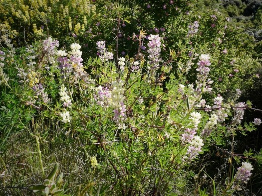
Flowering kanuka and lupins as seen from the DOC track, with a backdrop of Lake Hawea…
Craigburn


About an hour in, the track comes to an end as it drops into seclusion down by the river at some signage, and a small gate in a deer fence…
Craigburn 2


Hunters [permit required] usually frequent the rugged country further to the west [through above mentioned small gate], and to the much steeper southern areas including Mt Burke…
Craigburn 4


Craigburn 3


Lupins by the carpark…
Craigburn 5

Oteake Conservation Park

Oteake Conservation Park north of Kyeburn in the Maniototo

Oteake Conservation Park is a little north of Kyeburn in the Maniototo. It is a very large area, and as you’d expect for this area hosts a wealth of historic gold workings; many such as these ones, at high altitude.

Oteake Conservation Park north of Kyeburn in the Maniototo


Oteake Conservation Park north of Kyeburn in the Maniototo


Oteake Conservation Park north of Kyeburn in the Maniototo


Oteake Conservation Park north of Kyeburn in the Maniototo


Oteake Conservation Park north of Kyeburn in the Maniototo


Oteake Conservation Park north of Kyeburn in the Maniototo


Oteake Conservation Park north of Kyeburn in the Maniototo


The night before…
Oteake Conservation Park north of Kyeburn in the Maniototo

error: Content is protected !!